Richmond upon Thames
Richmond upon Thames/PA25/1203
85 Kew Green Kew TW9 3AH
- Reference
- Richmond upon Thames/PA25/1203
- Authority
- Richmond upon Thames
- Application type
- Works to Tree/s in Conservation Area
- Address
- 85 Kew Green Kew TW9 3AH
- Postcode
- TW9 3AH
- Status
- Decided
- Decision
- Raise No objection
- Received
- 14 Apr 2025
- Validated
- 2 May 2025
- Started
- 2 May 2025
- Decided
- 5 Jun 2025
- Source council
- Richmond upon Thames
- Council source record
- View public record
- Public data licence
- Open Government Licence v3.0
- Record updated
- 18 Jul 2026
- SEO index generated
- 24 Jul 2026
Location
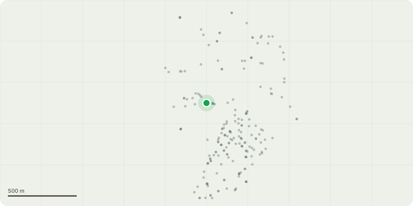
Approximate location
Proposal
The tree in question (T1), is a double stemmed mature European Ash tree Fraxinus excelsior, situated directly on the boundary between the Kew Green Nursery and the adjacent pedestrian pathway which runs parallel to Kew Bridge (A205) on the southern side of the River Thames (See Sketch plan for further details and tree identification). The northern trunk has a diameter at breast height (1.3 metres, dbh) of 1460 mm, the southern trunk has a dbh of 1470 mm (and a combined dbh of 2085). The tree height was measured at 14.2 meters using a Nikon Forestry Pro laser rangefinder (southern crown was observed as the highest point) and has an overall crown spread of approximately 6.44 meters. The tree is in good health and there are not apparent signs of Ash dieback (Hymenoscyphus fraxineus) observed on 11 April, 2025. No identification tags were visible upon initial inspection. Some minor cavities are present although no major structural or biomechanical defects that require immediate action were observed form the ground. No fungal fruiting bodies or active bacterial infections were observed, and the root plate showed no signs of heaving, subsidence or visible decay or rot. T1 is located on the boundary between the playground of Kew Green Nursery and the pedestrian path which runs between the nursery and Kew Bridge, next to MK complete joinery. Although the tree poses little major risks or hazards at present, the client is concerned as two branches in particular that extend far over the playground (see Sketch plan, Figure 6) has caused repeated bird droppings to fall onto the playground floor and over a play area frequented daily by school children. Only two branches are provided perching substrates for birds (predominantly Woodpigeons Columba palumbus) and the applicant would like to apply for permission to have these branches removed, to prevent birds from perching and defecating onto the playground area. Whilst attending site on 11 April, 20205, the agent (I, Albert Henry) also observed a small cavity at the base of these two branches, directly above the branch union (See Sketch plan, Figure 7). Although some callus formation has occurred and there is active compartmentalisation of the wound, we propose to remove these branches to both prevent bird droppings on the playground, and as there is frequent footfall of nursery staff and children to remove the branches above this union to prevent any potential branch fall. In addition to the removal of these two branches, the retained branch will have it’s dominant apical leading shoot shortened by approximately 0.5 metres. This aims to encourage the reallocation of apical dominance to the other sub-apical leader (directly above the removed branches) to maintain overall crown symmetry and shape. Post reduction pruning, the retained dimensions of the tree will be as follows: 14.1 metres in height, and the remaining spread of the crown retained will be approximately 5.40 metres diameter.
Key dates
- Received 14 Apr 2025
- Validated 2 May 2025
- Started 2 May 2025
- Decided 5 Jun 2025
Planning history / related applications
No related planning applications have been identified in the current public OGL dataset.
Inside plotEdge
Go beyond the public record
This page is the public OGL record. plotEdge adds the private intelligence layer for this site - open it in the app to unlock:
- Ownership & title Registered owner and title from HM Land Registry.
- Viability & build potential Site scoring and development upside.
- Constraints Flood risk, green belt, conservation areas and designations.
- Approval signal Planning risk and approval-likelihood analysis.
- Comparable applications Decisions on similar nearby sites, side by side.
- Status alerts Get notified the moment this application changes.
Source: public planning application data from Richmond upon Thames, reused under the Open Government Licence v3.0. View the council source record. Council documents and drawings are not republished on plotEdge.