Richmond upon Thames
Richmond upon Thames/PA25/0322
The Gate House, King George Square, Richmond, Richmond Upon Thames, TW10 6LF
- Reference
- Richmond upon Thames/PA25/0322
- Authority
- Richmond upon Thames
- Application type
- Works to Tree/s in Conservation Area
- Address
- The Gate House, King George Square, Richmond, Richmond Upon Thames, TW10 6LF
- Postcode
- TW10 6LF
- Status
- Decided
- Decision
- Raise No objection
- Received
- 20 Feb 2025
- Validated
- 20 Feb 2025
- Started
- 20 Feb 2025
- Decided
- 15 Apr 2025
- Source council
- Richmond upon Thames
- Council source record
- View public record
- Public data licence
- Open Government Licence v3.0
- Record updated
- 18 Jul 2026
- SEO index generated
- 24 Jul 2026
Location
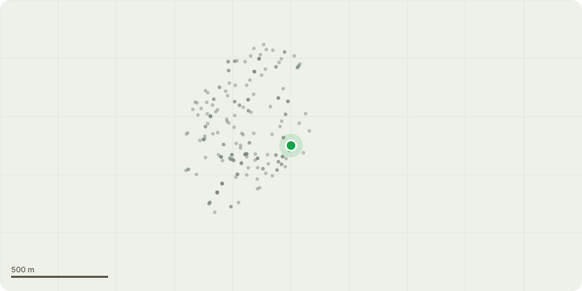
Approximate location
Proposal
Format: Ref: Species: Height (m): Crown Spread (m): Life Stage: Survey Notes: Condition: Risk Level: Works Recommendation: Works Timescale: Inspect Period T3 Cherry 5.5 4.5 Semi Mature Longitudinal wound to underside of stem to NW - approx. 0.75m length with exposed decaying heartwood and good woundwood formation. No other significant defects observed. Fair Prune back lowest branch over road by 1.5m N/A 2 Years T4 Cherry 6 5.5 Semi Mature Previously partially crown reduced - poor form and asymmetrical crown growth habit as a result. Poor pruning stumps. Canker growth to underside of lowest limb to SE side of crown. Fair Medium Selective lateral reduction / formative pruning of up to 2.0m to reshape and balance crown. 3 Months 2 Years T7Cherry plum 8.0 6 Semi Mature Canker growth around stem base - obstructed view by understory shrubs. Previously the crown was partially reduced - resulting in poor form. Fair Medium Crown reduction by 30% and reshape 3 Months 2 Years T12Cherry 6.5 10 Semi Mature Previously partially crown reduced - poor form, asymmetrical crown growth habit and excessive lateral spread as a result. Extensive surface rooting longitudinally along planting pit due to inappropriate location. Fair Medium Remove(fell) to ground level and treat stump to inhibit regrowth - poorly pruned in the past -unbalanced crown updated to reshape and rebalance 3 Months 2 Years T13 Birch 12.5 9 Semi Mature Low growth over roadway and parking. Previously partially crown reduced resulting in poor form and misshapen crown growth habit. Extensive surface rooting due to inappropriate planting location. Fair Medium Crown thin by up to 20%, Crown reduction by 30% and reshape. Crown lift to 3.0m (remove branches at source, do not cut to stumps) 3 Months 2 Years T19 Maple 7.5 6 Semi Mature One sided asymmetrical crown growth habit with weight bias to SW. Surface root to SE side of stem with mower damage. Decaying past poor pruning stumps to main stems. Fair Medium Prune back lower branches over the raised planter to balance crown 3 Months 2 Years T20 Himalayan Birch 11 7 Semi Mature Previously heavily crown reduced (topped) with regrowth from past pruning points. Twin stemmed from 1.5m. Surface roots with mower damage. Low crown growth over adjacent bin-store building. Encroaching branches in close proximity to flats. Fair Medium Crown thin by up to 20%, crown reduction by 30% and reshape. Crown lift over bin store to leave 1.0m clearance (remove branches at source, do not cut to stumps). Selectively prune to leave 1.0m clearance from flats. 3 Months 2 Years T21 Birch 11 7 Semi Mature Previously heavily crown reduced (topped) with regrowth from past pruning points. Stumps in upper crown from past poor pruning. Fair Medium Crown thin by up to 20%, Crown reduction by 30% and reshape 3 Months 2 Years *********************** CONTINUED IN ATTACHED DOCUMENT *****************************
Key dates
- Received 20 Feb 2025
- Validated 20 Feb 2025
- Started 20 Feb 2025
- Decided 15 Apr 2025
Planning history / related applications
No related planning applications have been identified in the current public OGL dataset.
Inside plotEdge
Go beyond the public record
This page is the public OGL record. plotEdge adds the private intelligence layer for this site - open it in the app to unlock:
- Ownership & title Registered owner and title from HM Land Registry.
- Viability & build potential Site scoring and development upside.
- Constraints Flood risk, green belt, conservation areas and designations.
- Approval signal Planning risk and approval-likelihood analysis.
- Comparable applications Decisions on similar nearby sites, side by side.
- Status alerts Get notified the moment this application changes.
Source: public planning application data from Richmond upon Thames, reused under the Open Government Licence v3.0. View the council source record. Council documents and drawings are not republished on plotEdge.