Richmond upon Thames
Richmond upon Thames/PA25/0289
201 St. Margarets Road Twickenham
- Reference
- Richmond upon Thames/PA25/0289
- Authority
- Richmond upon Thames
- Application type
- Works to Tree/s in Conservation Area
- Address
- 201 St. Margarets Road Twickenham
- Postcode
- TW1 1LU
- Status
- Decided
- Decision
- Raise No objection
- Received
- 17 Feb 2025
- Validated
- 17 Feb 2025
- Started
- 17 Feb 2025
- Decided
- 11 Apr 2025
- Source council
- Richmond upon Thames
- Council source record
- View public record
- Public data licence
- Open Government Licence v3.0
- Record updated
- 18 Jul 2026
- SEO index generated
- 24 Jul 2026
Location
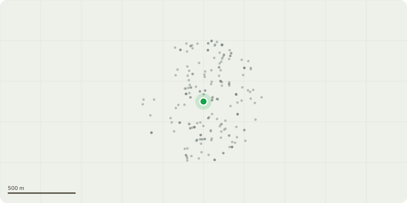
Approximate location
Proposal
Front Garden (Left Boundary) T1: Sycamore tree (located on left-hand side of driveway) – Fell to ground level, grind out stump Height of tree currently: 9m Height of tree after reduction: 0m Spread of tree currently: 6m Spread of tree after reduction: 0m Reasons for tree removal: 1. Structural Damage: The tree is causing damage to the boundary wall, leading to potential structural issues that could compromise the integrity of the surrounding area. 2. Obstruction of Traffic Signals: The tree is obstructing traffic lights, lamp posts, and road signs, which can lead to confusion and safety hazards for drivers and pedestrians. 3. Shading and Visibility: The tree is blocking natural light, causing excessive shading on the footpath and pedestrian crossing, potentially increasing the risk of accidents during low-light conditions. 4. Impeded Visibility at Roundabout: The tree is obstructing the view from the exit of a busy roundabout, which is a critical point for traffic flow and safety. Recommendation: To prevent further damage to the wall and ensure the safety of both pedestrians and drivers, it is recommended that the tree be removed as it currently poses a safety risk.
Key dates
- Received 17 Feb 2025
- Validated 17 Feb 2025
- Started 17 Feb 2025
- Decided 11 Apr 2025
Planning history / related applications
No related planning applications have been identified in the current public OGL dataset.
Inside plotEdge
Go beyond the public record
This page is the public OGL record. plotEdge adds the private intelligence layer for this site - open it in the app to unlock:
- Ownership & title Registered owner and title from HM Land Registry.
- Viability & build potential Site scoring and development upside.
- Constraints Flood risk, green belt, conservation areas and designations.
- Approval signal Planning risk and approval-likelihood analysis.
- Comparable applications Decisions on similar nearby sites, side by side.
- Status alerts Get notified the moment this application changes.
Source: public planning application data from Richmond upon Thames, reused under the Open Government Licence v3.0. View the council source record. Council documents and drawings are not republished on plotEdge.