Richmond upon Thames
Richmond upon Thames/PA25/0256
Sheen Mount Primary School West Temple Sheen East Sheen Richmond Upon Thames SW14 7RT
- Reference
- Richmond upon Thames/PA25/0256
- Authority
- Richmond upon Thames
- Application type
- Works to Tree/s in Conservation Area
- Address
- Sheen Mount Primary School West Temple Sheen East Sheen Richmond Upon Thames SW14 7RT
- Postcode
- SW14 7RT
- Status
- Decided
- Decision
- Raise No objection
- Received
- 14 Feb 2025
- Validated
- 14 Feb 2025
- Started
- 14 Feb 2025
- Decided
- 2 Apr 2025
- Source council
- Richmond upon Thames
- Council source record
- View public record
- Public data licence
- Open Government Licence v3.0
- Record updated
- 18 Jul 2026
- SEO index generated
- 24 Jul 2026
Location
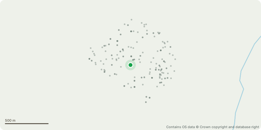
Approximate location - Contains OS data © Crown copyright and database right
Proposal
006 - Cherry Plum - significant deadwood within the crown; stems dead, hollow and decaying. Large previous failure points. Fungal brackets on stem and branches. Fell to ground level. Dangerous in playground. 007 - Douglas Fir - standing dead stem with no visible crown. Fell to ground level. Very dangerous in the playground. 079 - Holly - dying dead stem with little crown and significant die-back. Sounding hammer indicates hollowing. Dangerous in playground so fell to ground level. 129 - Tree of Heaven - historic large limb failure at 8m causing asymmetric crown with poor unions. Tear wounds within crown. Reduce teaming crown by 20% from 21m high to 18m high; and from 17m wide to 15m wide to reduce load on weakened unions. 145 - Corsican Pine - western lateral limb browning-dead foliage. Reduce limb back to stem to ensure safety on playground. 149 - False Acacia - deadwood within crown; snapped/partially attached limbs in east of crown. Remove deadwood over 50ml and remove snapped partially attached limbs to ensure safety on playground. Works to be done according to PJC tree survey.
Key dates
- Received 14 Feb 2025
- Validated 14 Feb 2025
- Started 14 Feb 2025
- Decided 2 Apr 2025
Planning history / related applications
No related planning applications have been identified in the current public OGL dataset.
Inside plotEdge
Go beyond the public record
This page is the public OGL record. plotEdge adds the private intelligence layer for this site - open it in the app to unlock:
- Ownership & title Registered owner and title from HM Land Registry.
- Viability & build potential Site scoring and development upside.
- Constraints Flood risk, green belt, conservation areas and designations.
- Approval signal Planning risk and approval-likelihood analysis.
- Comparable applications Decisions on similar nearby sites, side by side.
- Status alerts Get notified the moment this application changes.
Source: public planning application data from Richmond upon Thames, reused under the Open Government Licence v3.0. View the council source record. Council documents and drawings are not republished on plotEdge.