Richmond upon Thames
Richmond upon Thames/PA25/0038
Hampton Court Palace East Molesey KT8 9AU
- Reference
- Richmond upon Thames/PA25/0038
- Authority
- Richmond upon Thames
- Application type
- Works to Tree/s in Conservation Area
- Address
- Hampton Court Palace East Molesey KT8 9AU
- Postcode
- KT8 9AU
- Status
- Decided
- Decision
- Raise No objection
- Received
- 4 Feb 2025
- Validated
- 4 Feb 2025
- Started
- 4 Feb 2025
- Decided
- 31 Mar 2025
- Source council
- Richmond upon Thames
- Council source record
- View public record
- Public data licence
- Open Government Licence v3.0
- Record updated
- 18 Jul 2026
- SEO index generated
- 24 Jul 2026
Location
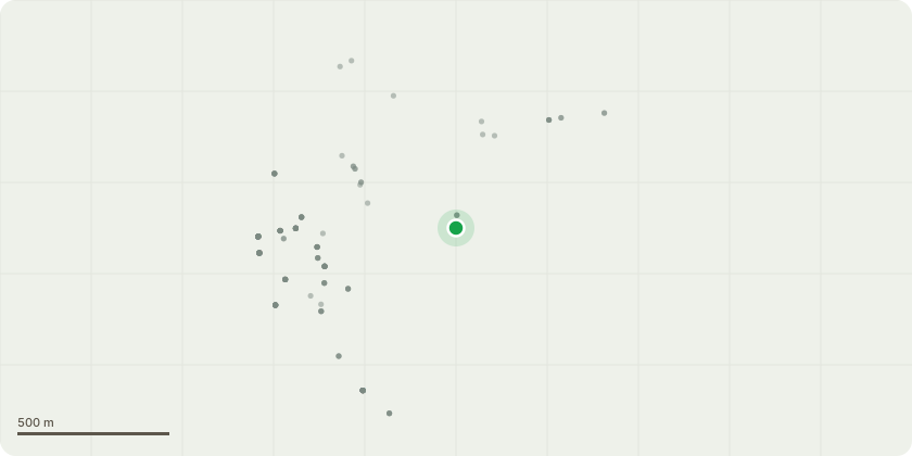
Approximate location
Proposal
The proposed operation is to coppice 2 sections of the Barge Walk footpath which runs parallel the river Thames from Hampton court bridge to Kingston bridge. the proposed section are 200m and 250m at opposing end of the path so that the visual impact is limited. Tree species include self set alder, willow, ash and poplar, there are also some more established oaks along the path. The total volume of material to be coppiced over both areas is roughly 30m3. Our aim is to re coppice over mature stools which are at risk of falling into the river and damaging the river bank, and any moored boats downstream. The more established single stems of oak and some poplar will be kept to reduce the visual impact and maintain the amenity value of the area. The coppiced stools will be allowed to regenerate and will be re coppiced on a 10-15year rotation. This will be written into a Hampton Court Palace Tree Strategy that will soon follow this application of works.
Key dates
- Received 4 Feb 2025
- Validated 4 Feb 2025
- Started 4 Feb 2025
- Decided 31 Mar 2025
Planning history / related applications
No related planning applications have been identified in the current public OGL dataset.
Inside plotEdge
Go beyond the public record
This page is the public OGL record. plotEdge adds the private intelligence layer for this site - open it in the app to unlock:
- Ownership & title Registered owner and title from HM Land Registry.
- Viability & build potential Site scoring and development upside.
- Constraints Flood risk, green belt, conservation areas and designations.
- Approval signal Planning risk and approval-likelihood analysis.
- Comparable applications Decisions on similar nearby sites, side by side.
- Status alerts Get notified the moment this application changes.
Source: public planning application data from Richmond upon Thames, reused under the Open Government Licence v3.0. View the council source record. Council documents and drawings are not republished on plotEdge.