Richmond upon Thames
Richmond upon Thames/24/T1117/TCA
Flat 5 52 Kings Road Richmond TW10 6EP
- Reference
- Richmond upon Thames/24/T1117/TCA
- Authority
- Richmond upon Thames
- Application type
- Works to Tree/s in Conservation Area
- Address
- Flat 5 52 Kings Road Richmond TW10 6EP
- Postcode
- TW10 6EP
- Status
- Raise No Objection
- Decision
- Raise No objection
- Received
- 19 Dec 2024
- Validated
- 19 Dec 2024
- Started
- 19 Dec 2024
- Decided
- 14 Jan 2025
- Source council
- Richmond upon Thames
- Council source record
- View public record
- Public data licence
- Open Government Licence v3.0
- Record updated
- 18 Jul 2026
- SEO index generated
- 24 Jul 2026
Location
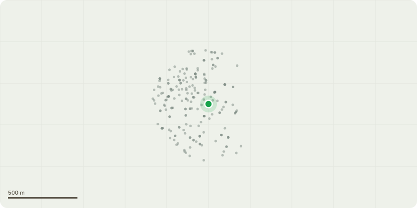
Approximate location
Proposal
Back Garden (Left Boundary) T1: Yew tree - Lift canopy to 1 - 1.5m above fence, reduce height by 2 - 2.5m through selective thinning leaving a Holistic crown reduction , reduce sides by 1 - 1.5m through selective thinning leaving a Holistic crown reduction, thin canopy by 5% height 8m & spread 6m. Reduce height to 6m & spread to 5m The reason for the work is to reduce the size of a tree located in the back left hand side of the garden. The tree has grown very large for the area it is in, and the client wants to keep it but reduce its size. This is also necessary because the tree is located in close proximity to two garden boundary walls, and the trunk growth and roots could potentially damage these structures. It is causing excessive shading to surrounding shrubs. By reducing its size, we will be able to allow more light into the surrounding gardens and promote the growth of the other plants. This will also create a more balanced and aesthetically pleasing area in line with the neighbouring gardens.
Key dates
- Received 19 Dec 2024
- Validated 19 Dec 2024
- Started 19 Dec 2024
- Decided 14 Jan 2025
Planning history / related applications
No related planning applications have been identified in the current public OGL dataset.
Inside plotEdge
Go beyond the public record
This page is the public OGL record. plotEdge adds the private intelligence layer for this site - open it in the app to unlock:
- Ownership & title Registered owner and title from HM Land Registry.
- Viability & build potential Site scoring and development upside.
- Constraints Flood risk, green belt, conservation areas and designations.
- Approval signal Planning risk and approval-likelihood analysis.
- Comparable applications Decisions on similar nearby sites, side by side.
- Status alerts Get notified the moment this application changes.
Source: public planning application data from Richmond upon Thames, reused under the Open Government Licence v3.0. View the council source record. Council documents and drawings are not republished on plotEdge.