Richmond upon Thames
Richmond upon Thames/24/T0919/TCA
Riverview Mansions Clevedon Road Twickenham TW1 2HY
- Reference
- Richmond upon Thames/24/T0919/TCA
- Authority
- Richmond upon Thames
- Application type
- Works to Tree/s in Conservation Area
- Address
- Riverview Mansions Clevedon Road Twickenham TW1 2HY
- Postcode
- TW1 2HY
- Status
- Raise No Objection
- Decision
- Raise No objection
- Received
- 25 Oct 2024
- Validated
- 31 Oct 2024
- Started
- 31 Oct 2024
- Decided
- 12 Dec 2024
- Source council
- Richmond upon Thames
- Council source record
- View public record
- Public data licence
- Open Government Licence v3.0
- Record updated
- 18 Jul 2026
- SEO index generated
- 24 Jul 2026
Location
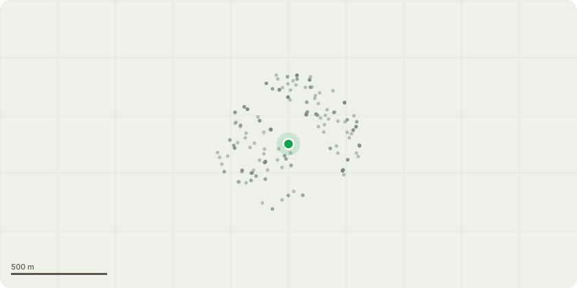
Approximate location
Proposal
Rear/North Boundary Common Horse Chestnut: Tree Inspected at ground level starting at buttress root flare and surrounding soils, all seem average for age of tree, no noticeable faults. Main fork, has a large split (0.50m) on both side of the trunk, indicating poor structural form. Large limb failure at 6m (S.E facing). The history of bracing would indicate x 2 installations, the first Installation 20+ years ago at 7m, and most recent (last 10 years) at 13m/14m. These are absolutely monumental in supporting tree stability and prevent catastrophic failure. The supporting aids (Cobra Bracing) are at there limit, and potentially, will not be able to carry on supporting the tree without some weight, branch reduction work, to help manage prevent future failure of main fork area. Recommended Works: Reduce crown height and spread by 3m to a natural rounded form, ensure branches are cut back to the best and most suitable points. - Remove dead branches. - Inspect old bracing (do not remove) and carry out climbing Inspection for adverse branch or higher junction faults. The current height of the tree is approx. 23m The current spread of the tree is approx. 25m The proposed height of the tree following pruning is approx. 20m The proposed spread of the tree following pruning is approx. 22m
Key dates
- Received 25 Oct 2024
- Validated 31 Oct 2024
- Started 31 Oct 2024
- Decided 12 Dec 2024
Planning history / related applications
No related planning applications have been identified in the current public OGL dataset.
Inside plotEdge
Go beyond the public record
This page is the public OGL record. plotEdge adds the private intelligence layer for this site - open it in the app to unlock:
- Ownership & title Registered owner and title from HM Land Registry.
- Viability & build potential Site scoring and development upside.
- Constraints Flood risk, green belt, conservation areas and designations.
- Approval signal Planning risk and approval-likelihood analysis.
- Comparable applications Decisions on similar nearby sites, side by side.
- Status alerts Get notified the moment this application changes.
Source: public planning application data from Richmond upon Thames, reused under the Open Government Licence v3.0. View the council source record. Council documents and drawings are not republished on plotEdge.