Reigate and Banstead
Reigate and Banstead/26/01167/CAN
South West Wing Walton Manor Walton Street Walton On The Hill Surrey KT20 7SA
- Reference
- Reigate and Banstead/26/01167/CAN
- Authority
- Reigate and Banstead
- Application type
- CAN
- Address
- South West Wing Walton Manor Walton Street Walton On The Hill Surrey KT20 7SA
- Postcode
- KT20 7SA
- Status
- Registered
- Received
- 13 Jul 2026
- Started
- 13 Jul 2026
- Source council
- Reigate and Banstead
- Council source record
- View public record
- Public data licence
- Open Government Licence v3.0
- Record updated
- 18 Jul 2026
- SEO index generated
- 24 Jul 2026
Location
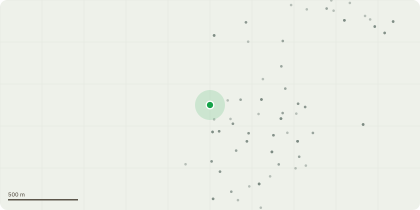
Approximate location
Proposal
G1- line of mixed hedging along rear boundary(Holly, Sycamore, Hawthorn and Laurel) Hedge has previously been reduced to approximately 3 metres from ground level and has been left for a number of years and now has around 2 metres of regrowth. Reduce this regrowth back to the previous pruning points and trim the sides back from the adjacent footpath. The proposed works are intended to maintain the hedge at an appropriate size and condition, preventing it from becoming overgrown and reducing the likelihood of excessive regrowth that could compromise its long-term structure and function. This will help retain the hedge as a continuous boundary feature, avoiding its deterioration into individual trees. In addition, the pruning of branches overhanging the adjacent public footpath will ensure that the hedge does not present a hazard or obstruction to pedestrians, thereby maintaining safe passage and supporting the continued amenity value of the hedge within the local environment.
Key dates
- Received 13 Jul 2026
- Started 13 Jul 2026
Planning history / related applications
No related planning applications have been identified in the current public OGL dataset.
Inside plotEdge
Go beyond the public record
This page is the public OGL record. plotEdge adds the private intelligence layer for this site - open it in the app to unlock:
- Ownership & title Registered owner and title from HM Land Registry.
- Viability & build potential Site scoring and development upside.
- Constraints Flood risk, green belt, conservation areas and designations.
- Approval signal Planning risk and approval-likelihood analysis.
- Comparable applications Decisions on similar nearby sites, side by side.
- Status alerts Get notified the moment this application changes.
Source: public planning application data from Reigate and Banstead, reused under the Open Government Licence v3.0. View the council source record. Council documents and drawings are not republished on plotEdge.