Reigate and Banstead
Reigate and Banstead/26/01134/CAN
7 Hethersett Close Reigate Surrey RH2 0HQ
- Reference
- Reigate and Banstead/26/01134/CAN
- Authority
- Reigate and Banstead
- Application type
- CAN
- Address
- 7 Hethersett Close Reigate Surrey RH2 0HQ
- Postcode
- RH2 0HQ
- Status
- Registered
- Received
- 17 Jul 2026
- Started
- 17 Jul 2026
- Source council
- Reigate and Banstead
- Council source record
- View public record
- Public data licence
- Open Government Licence v3.0
- Record updated
- 21 Jul 2026
- SEO index generated
- 24 Jul 2026
Location
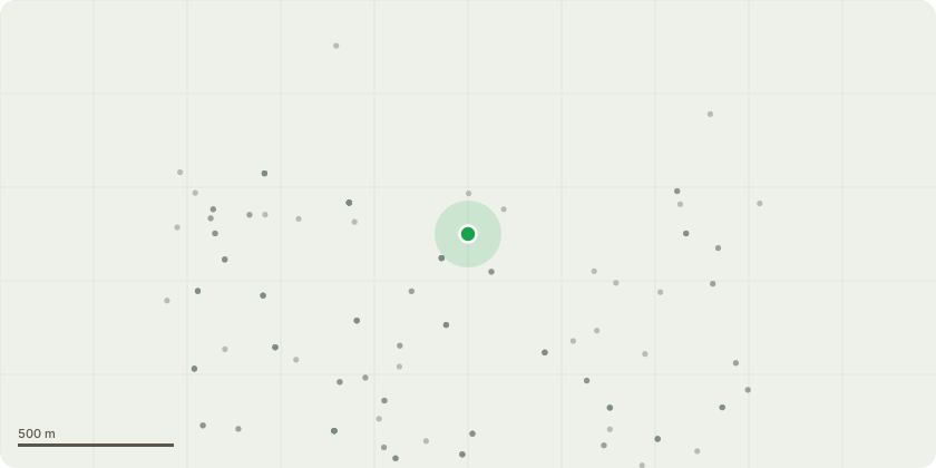
Approximate location
Proposal
1. Mulberry rear LH corner of garage. Carefully dismantle to as close to ground level as possible utilising a Mobile Elevated Work Platform - In very poor condition and dying. 3. Cypress in neighbours LHS front. Reduce encroachment toward boundary line as hard as possible maintaining green screening. Height pre 13m post 13m crown spread pre 9m post 7m - cutback overhang to reduce shading over garden and fruit trees/shrubs. 4. Yew LHS rear. Light reduce / reshape and crown lift to clear stem by 1m using hand tools only - light reshape. 6. Dead spruce over fence at bottom of garden. Carefully dismantle to a monolith at 3 metres tall - Dead tree to remove. 7. Yew group at rear 2 inside and 2 outside fence. Crown reduce to the previous crown reduction points removing approximately 1-1.5 metres. All pruning cuts shall be made to suitable secondary growth points and shall maintain a stable platform for the expected regrowth and shall not exceed beyond the previous crown reduction points. height pre 7m post 5m crown spread pre 8m post 8m - maintain and keep size in check and to maintain views out of garden. 8. Copper beech RHS rear. Crown reduce to the previous crown reduction points removing approximately 3 metres. All pruning cuts shall be made to suitable secondary growth points and shall maintain a stable platform for the expected regrowth and shall not exceed beyond the previous crown reduction points.height pre 15m post 12m crown spread pre 9m post 6m - Crown reduce to maintain current size as in close proximity to housing.
Key dates
- Received 17 Jul 2026
- Started 17 Jul 2026
Planning history / related applications
No related planning applications have been identified in the current public OGL dataset.
Inside plotEdge
Go beyond the public record
This page is the public OGL record. plotEdge adds the private intelligence layer for this site - open it in the app to unlock:
- Ownership & title Registered owner and title from HM Land Registry.
- Viability & build potential Site scoring and development upside.
- Constraints Flood risk, green belt, conservation areas and designations.
- Approval signal Planning risk and approval-likelihood analysis.
- Comparable applications Decisions on similar nearby sites, side by side.
- Status alerts Get notified the moment this application changes.
Source: public planning application data from Reigate and Banstead, reused under the Open Government Licence v3.0. View the council source record. Council documents and drawings are not republished on plotEdge.