Reigate and Banstead
Reigate and Banstead/26/01107/CAN
Undercroft 21 Raglan Road Reigate Surrey RH2 0DR
- Reference
- Reigate and Banstead/26/01107/CAN
- Authority
- Reigate and Banstead
- Application type
- CAN
- Address
- Undercroft 21 Raglan Road Reigate Surrey RH2 0DR
- Postcode
- RH2 0DR
- Status
- Registered
- Received
- 1 Jul 2026
- Started
- 1 Jul 2026
- Source council
- Reigate and Banstead
- Council source record
- View public record
- Public data licence
- Open Government Licence v3.0
- Record updated
- 18 Jul 2026
- SEO index generated
- 24 Jul 2026
Location
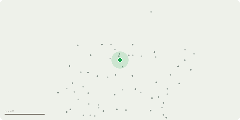
Approximate location
Proposal
T1-Reduce horse chestnut by 4m and sever ivy at base. Tree situated on the right-hand side of the driveway entrance. The stem is showing signs of decay and weeping out of the bark where previous fungus has been present. Included bark at 4m high at crown break, possible weak union. T2- Fell two leaning ash tree stems and remove ivy from the tree. Multi stem ash - Visible signs of ash dieback. Weak union at base. G1 Two sycamore and one ash tree- Remove deadwood and reduce the overextended branches overhanging the road by 2m. Ivy taking up 75% of the trees crown. Signs of deadwood and squirrel damage. T3- Yew - Lift crown by 1m over driveway and sever ivy. Multi stemmed union at 2m. Ivy covering stem. T4- Fell decaying conifer to ground level. Multi stem leylandii with a forward lean towards the car park. Signs of major decay on the first metre and a half of the stem. Sound test - Hollow. T5- Reduce Thuja height by 5m. Heavily weighted towards the car park. Given the location the appropriate recommendations should be carried out. T6- Fell heavily leaning acacia to ground level. The tree is leaning into the road and is a risk. T7-Reduce the yew crown by 2-3m overhanging the neighbour's property to balance, sever ivy. T8- Reduce yew stem overhanging neighbours' property by 3m, sever ivy and remove snapped stem. T9- Remove deadwood in pine tree. T10- Fell yew to ground level, leaving logs as habitat. Ivy covered multi stems, sound test hollow. Leaning towards property side path. T11- Reduce crown by 3m, cut back from building to give clearance of 2m, crown lift to 4m. Branches touching property, crossing branches within crown, ivy running up stem, squirrel damage visible. T12- Field maple- Sever ivy and reduce the overextended limb by 2m. T13- Cherry - Fell one leaning stem and reduce the other stem by 2m and sever ivy. One dead leaning stem. The other stem is alive but weighted towards the rear garden.
Key dates
- Received 1 Jul 2026
- Started 1 Jul 2026
Planning history / related applications
No related planning applications have been identified in the current public OGL dataset.
Inside plotEdge
Go beyond the public record
This page is the public OGL record. plotEdge adds the private intelligence layer for this site - open it in the app to unlock:
- Ownership & title Registered owner and title from HM Land Registry.
- Viability & build potential Site scoring and development upside.
- Constraints Flood risk, green belt, conservation areas and designations.
- Approval signal Planning risk and approval-likelihood analysis.
- Comparable applications Decisions on similar nearby sites, side by side.
- Status alerts Get notified the moment this application changes.
Source: public planning application data from Reigate and Banstead, reused under the Open Government Licence v3.0. View the council source record. Council documents and drawings are not republished on plotEdge.