Reigate and Banstead
Reigate and Banstead/26/00658/CAN
Craigrossie 26 Russells Crescent Horley Surrey RH6 7DN
- Reference
- Reigate and Banstead/26/00658/CAN
- Authority
- Reigate and Banstead
- Application type
- CAN
- Address
- Craigrossie 26 Russells Crescent Horley Surrey RH6 7DN
- Postcode
- RH6 7DN
- Status
- Decided (Approved)
- Decision
- Approved
- Received
- 17 Apr 2026
- Validated
- 17 Apr 2026
- Started
- 17 Apr 2026
- Decided
- 29 May 2026
- Source council
- Reigate and Banstead
- Council source record
- View public record
- Public data licence
- Open Government Licence v3.0
- Record updated
- 18 Jul 2026
- SEO index generated
- 24 Jul 2026
Location
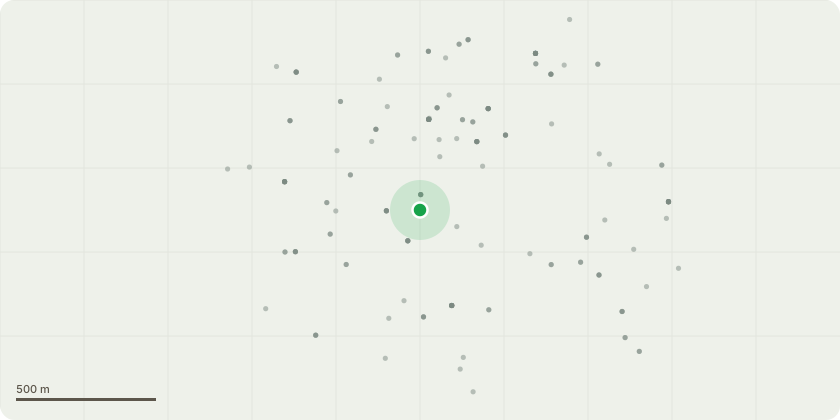
Approximate location
Proposal
Everything at the front of my clients property has died including the privet hedge. They are replacing the privet with laurels and have decided the only trees on front boundary they will keep are both the chestnuts. The large chestnut that we had to pollard a few years ago due to it being on a decline is staying un touched. T1 The smaller chestnut next to it will be having a 3M lateral reduction as it has become very side weighted. T2 The prunus will be felled to ground level this tree is completely knackered and has a high chance of falling the fence is helping it stay up right currently. T3 Then the last two hawthorns are being felled to ground level to re plant laurels in their place.
Key dates
- Received 17 Apr 2026
- Validated 17 Apr 2026
- Started 17 Apr 2026
- Decided 29 May 2026
Planning history / related applications
No related planning applications have been identified in the current public OGL dataset.
Inside plotEdge
Go beyond the public record
This page is the public OGL record. plotEdge adds the private intelligence layer for this site - open it in the app to unlock:
- Ownership & title Registered owner and title from HM Land Registry.
- Viability & build potential Site scoring and development upside.
- Constraints Flood risk, green belt, conservation areas and designations.
- Approval signal Planning risk and approval-likelihood analysis.
- Comparable applications Decisions on similar nearby sites, side by side.
- Status alerts Get notified the moment this application changes.
Source: public planning application data from Reigate and Banstead, reused under the Open Government Licence v3.0. View the council source record. Council documents and drawings are not republished on plotEdge.