Reigate and Banstead
Reigate and Banstead/25/02246/TPO
Dunottar School 36 High Trees Road Reigate Surrey RH2 7EL
- Reference
- Reigate and Banstead/25/02246/TPO
- Authority
- Reigate and Banstead
- Application type
- Tree preservation order
- Address
- Dunottar School 36 High Trees Road Reigate Surrey RH2 7EL
- Postcode
- RH2 7EL
- Status
- Decided (Approved)
- Decision
- Approved with Conditions
- Received
- 11 Dec 2025
- Validated
- 11 Dec 2025
- Started
- 11 Dec 2025
- Decided
- 5 Mar 2026
- Source council
- Reigate and Banstead
- Council source record
- View public record
- Public data licence
- Open Government Licence v3.0
- Record updated
- 18 Jul 2026
- SEO index generated
- 24 Jul 2026
Location
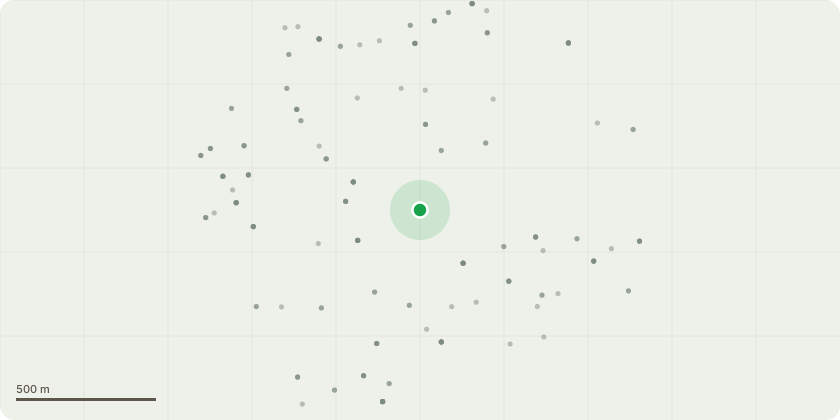
Approximate location
Proposal
T122-3x Flowering cherry - clear 1m diameter circle of bare earth to allow water penetration to roots. T124 Flowering cherry - clear 1m diameter circle of bare earth to allow water penetration to roots. T190 Sycamore - fell sycamore stem without tree tag to 4m stump and crown reduce sweet chestnut lateral limbs by up to 4m. T040 Ash - sever ivy on stem base. T041 Lawson cypress - reduce crown height by 3m. T046 Purple maple - remove secondary stem to north leaving 3m stub. T067 Oak - winch over into adjacent ash and secure to maintain deadwood habitat at height. T075 Pedunculate oak - sever ivy at stem base. T114 Corsican pine - cut wire. T115 Corsican pine - cut wire. T134 Oak - reduce lowest north limb with 2 woodpecker holes, remove 4m from secondary tip growth only, sever ivy. T181 Mixed species - fell to 2m stumps. T187 Peduncalate oak - climbing inspection and report of findings. T191 Pedunculate oak - sever ivy. T192 Pedunculate oak - reduce to 8m stem retaining all lower stem growth.
Key dates
- Received 11 Dec 2025
- Validated 11 Dec 2025
- Started 11 Dec 2025
- Decided 5 Mar 2026
Planning history / related applications
No related planning applications have been identified in the current public OGL dataset.
Inside plotEdge
Go beyond the public record
This page is the public OGL record. plotEdge adds the private intelligence layer for this site - open it in the app to unlock:
- Ownership & title Registered owner and title from HM Land Registry.
- Viability & build potential Site scoring and development upside.
- Constraints Flood risk, green belt, conservation areas and designations.
- Approval signal Planning risk and approval-likelihood analysis.
- Comparable applications Decisions on similar nearby sites, side by side.
- Status alerts Get notified the moment this application changes.
Source: public planning application data from Reigate and Banstead, reused under the Open Government Licence v3.0. View the council source record. Council documents and drawings are not republished on plotEdge.