Reigate and Banstead
Reigate and Banstead/25/01652/TPO
Goodwood House Milstead Close Tadworth Surrey KT20 5AX
- Reference
- Reigate and Banstead/25/01652/TPO
- Authority
- Reigate and Banstead
- Application type
- Tree preservation order
- Address
- Goodwood House Milstead Close Tadworth Surrey KT20 5AX
- Postcode
- KT20 5AX
- Status
- Decided (Approved)
- Decision
- Approved with Conditions
- Received
- 15 Sept 2025
- Validated
- 15 Sept 2025
- Started
- 15 Sept 2025
- Decided
- 19 Nov 2025
- Source council
- Reigate and Banstead
- Council source record
- View public record
- Public data licence
- Open Government Licence v3.0
- Record updated
- 18 Jul 2026
- SEO index generated
- 24 Jul 2026
Location
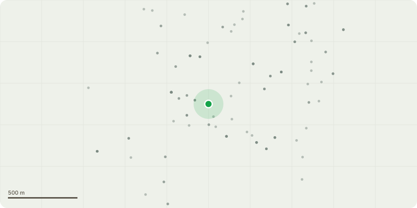
Approximate location
Proposal
Ash no. 6 - Fell to ground level (stump to be retained in place). Reason: Tree formerly three-stemmed from base with central stem historically failed or removed; stump of failed/removed stem shows significant wood decay with fungal fruitbodies consistent with wood decay fungus Polyporus squamosus (dryads saddle) present at time of most recent survey; west stem shows significant wood decay at stem base with hollowing to depth of 500mm and moderate lean over adjacent off-site shed; east stem shows crack in stem base and significant lean to east. As such, stems likely to be at increased risk of whole stem failure and likely to fail in direction of lean into adjacent off-site garden and shed; tree to be felled to ground level to remove significant risk and consequences of failure tree poses to garden users. Hazel no. 34 - Remove two stems on north side, currently leaning on close board boundary fence. Reason: To prevent any further damage to fence and to enable any repair works to fence if required. Cherry laurel no. 64 - Remedially prune and remove partially failed limb located at 3m on north side, currently resting on close board boundary fence. Cherry laurel no. 65 - Remove lowest branch at 2m on north side, currently resting on close board boundary fence.
Key dates
- Received 15 Sept 2025
- Validated 15 Sept 2025
- Started 15 Sept 2025
- Decided 19 Nov 2025
Planning history / related applications
No related planning applications have been identified in the current public OGL dataset.
Inside plotEdge
Go beyond the public record
This page is the public OGL record. plotEdge adds the private intelligence layer for this site - open it in the app to unlock:
- Ownership & title Registered owner and title from HM Land Registry.
- Viability & build potential Site scoring and development upside.
- Constraints Flood risk, green belt, conservation areas and designations.
- Approval signal Planning risk and approval-likelihood analysis.
- Comparable applications Decisions on similar nearby sites, side by side.
- Status alerts Get notified the moment this application changes.
Source: public planning application data from Reigate and Banstead, reused under the Open Government Licence v3.0. View the council source record. Council documents and drawings are not republished on plotEdge.