Reigate and Banstead
Reigate and Banstead/25/00674/TPO
Maple Haven Eyhurst Close Kingswood Surrey KT20 6NR
- Reference
- Reigate and Banstead/25/00674/TPO
- Authority
- Reigate and Banstead
- Application type
- Tree preservation order
- Address
- Maple Haven Eyhurst Close Kingswood Surrey KT20 6NR
- Postcode
- KT20 6NR
- Status
- Decided (Approved)
- Decision
- Approved with Conditions
- Received
- 4 Apr 2025
- Validated
- 4 Apr 2025
- Started
- 4 Apr 2025
- Decided
- 30 May 2025
- Source council
- Reigate and Banstead
- Council source record
- View public record
- Public data licence
- Open Government Licence v3.0
- Record updated
- 18 Jul 2026
- SEO index generated
- 24 Jul 2026
Location
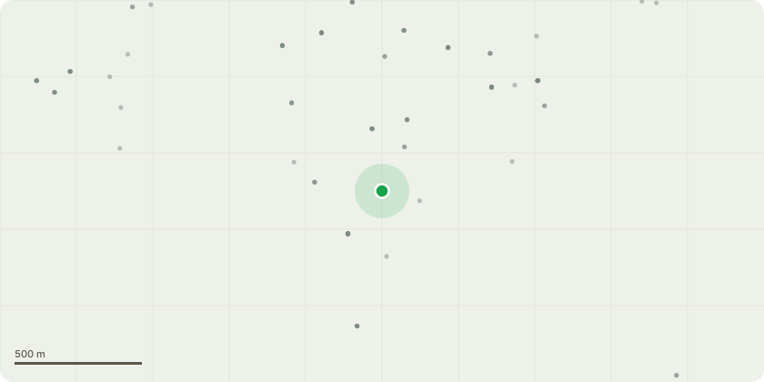
Approximate location
Proposal
T1 Willow: Crown reduce to previous management points to continue previously implemented management strategy and reduce loading on main stem with areas of decay noted at the base. T2 Sycamore: Crown reduce by up to 2.5m near to previous management points to continue previously implemented management strategy and remove all deadwood. T3 Lawson cypress: Codominant (bifurcated) from approximately 2m from ground level with a compressive union, approximately 18m tall and close to neighbouring property and areas of high footfall underneath. The main union has obvious signs of inclusion and has a high potential for future failure. Recommendation: To reduce the height of the crown by 5m to significantly reduce the stress loading on the poor union at 2m above ground level to aid long term retention and prevent accidental failure. G1 Holly and Birch growing over the boundary from neighbouring property: The holly is growing at a significant lean of approximately 35 degrees biased towards the east and resting in the also leaning birch. These trees are of poor form and have a high potential for failure. Recommendation: Fell to beneath fence height. G2 Group of mainly Sweet chestnut: Fell dead specimens to near ground level and fell to 1m single stem located on the boundary that has a significantly compromised base competing with the adjacent Lawson conifer. Re pollard stems of phoenix growth on the boundary previously topped at 4m. G3: Group of Birch trees: Crown lift to 5m to aid light penetration to the border area below.G4: Group of Leyland cypress: Reduce in height by 5m (50% of the green area) to form a more compact screen and laterally reduce to form a more consistent face for future management. G5 neighbours Cherries: Remove single co dominant leader from the southern most tree and remove all boundary overhang from both trees. H1 neighbours Conifer hedge: Remove all boundary overhang. To maintain within proximity to surroundings.
Key dates
- Received 4 Apr 2025
- Validated 4 Apr 2025
- Started 4 Apr 2025
- Decided 30 May 2025
Planning history / related applications
No related planning applications have been identified in the current public OGL dataset.
Inside plotEdge
Go beyond the public record
This page is the public OGL record. plotEdge adds the private intelligence layer for this site - open it in the app to unlock:
- Ownership & title Registered owner and title from HM Land Registry.
- Viability & build potential Site scoring and development upside.
- Constraints Flood risk, green belt, conservation areas and designations.
- Approval signal Planning risk and approval-likelihood analysis.
- Comparable applications Decisions on similar nearby sites, side by side.
- Status alerts Get notified the moment this application changes.
Source: public planning application data from Reigate and Banstead, reused under the Open Government Licence v3.0. View the council source record. Council documents and drawings are not republished on plotEdge.