Reigate and Banstead
Reigate and Banstead/24/01941/TPO
Glenhurst 9 Glen Close Kingswood Surrey KT20 6NT
- Reference
- Reigate and Banstead/24/01941/TPO
- Authority
- Reigate and Banstead
- Application type
- Tree preservation order
- Address
- Glenhurst 9 Glen Close Kingswood Surrey KT20 6NT
- Postcode
- KT20 6NT
- Status
- Decided (Approved)
- Decision
- Approved with Conditions
- Received
- 22 Oct 2024
- Validated
- 22 Oct 2024
- Started
- 22 Oct 2024
- Decided
- 13 Dec 2024
- Source council
- Reigate and Banstead
- Council source record
- View public record
- Public data licence
- Open Government Licence v3.0
- Record updated
- 18 Jul 2026
- SEO index generated
- 24 Jul 2026
Location
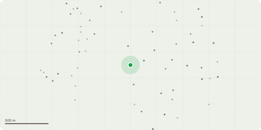
Approximate location
Proposal
To fell to ground level individual trees nos. 2, 8,13, 19 & groups G1, G3 (G3 being a partial fell) as shown on the submitted tree works plan (SJA TWP 24372-061) comprising of Leyland cypress, Sawara cypress, Lawson cypress, Monterey cypress, hazel, star magnolia, southern magnolia, yew & cherry laurel to facilitate a proposed replacement planting scheme. To also prune English oak no. 9 by a north lateral reduction of up to 2.5m leaving it no closer than 4.5m from trunk centre; for English oaks nos. 10, 11 & 12 Removed deadwood >100mm dia. throughout canopies (Exempt from TPO); for English oak no. 12 to reduce northwest lateral extent only by 1.5m leaving it no closer than 6.5m from trunk to reduce overhang over existing dwelling and access driveway.To plant 47 replacement trees as part of proposed planting scheme.
Key dates
- Received 22 Oct 2024
- Validated 22 Oct 2024
- Started 22 Oct 2024
- Decided 13 Dec 2024
Planning history / related applications
No related planning applications have been identified in the current public OGL dataset.
Inside plotEdge
Go beyond the public record
This page is the public OGL record. plotEdge adds the private intelligence layer for this site - open it in the app to unlock:
- Ownership & title Registered owner and title from HM Land Registry.
- Viability & build potential Site scoring and development upside.
- Constraints Flood risk, green belt, conservation areas and designations.
- Approval signal Planning risk and approval-likelihood analysis.
- Comparable applications Decisions on similar nearby sites, side by side.
- Status alerts Get notified the moment this application changes.
Source: public planning application data from Reigate and Banstead, reused under the Open Government Licence v3.0. View the council source record. Council documents and drawings are not republished on plotEdge.