Reigate and Banstead
Reigate and Banstead/24/01778/CAN
24 Upper West Street Reigate Surrey RH2 9BU
- Reference
- Reigate and Banstead/24/01778/CAN
- Authority
- Reigate and Banstead
- Application type
- CAN
- Address
- 24 Upper West Street Reigate Surrey RH2 9BU
- Postcode
- RH2 9BU
- Status
- Decided (Approved)
- Decision
- Approved
- Received
- 27 Sept 2024
- Validated
- 27 Sept 2024
- Started
- 27 Sept 2024
- Decided
- 25 Oct 2024
- Source council
- Reigate and Banstead
- Council source record
- View public record
- Public data licence
- Open Government Licence v3.0
- Record updated
- 18 Jul 2026
- SEO index generated
- 24 Jul 2026
Location
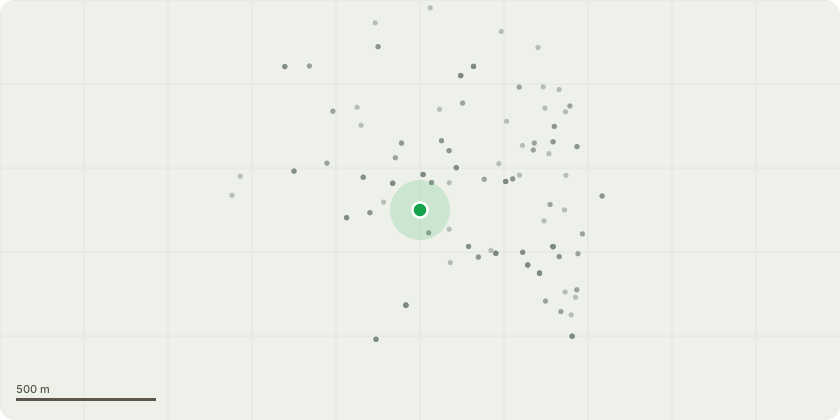
Approximate location
Proposal
T1 - Bay Tree: To trim back to the original shape: Reasons, to maintain the trees shape/aesthetic reasons. T2 - Copper Beech Tree: Remove the water shoots, Current crown height is approx. 6m & spread is 5m. Reasons are to maintain the trees size in proximity to the property. G3 - Behind Garage - 3 Lime Trees: Re-Polard back to the previous points, current height is approx. 2m & spread 0.5m. Reasons are to maintain the trees size & aesthetics. G3 - Neighbours Lime Trees: Trim back the lower branchs to a height of approx. 10-12ft. Reasons are lower branches causing obstruction. T5 - Dead Elderberry Tree: Fell to ground level- 5 day notification. Clients reasons for all the work: 1. To ensure that the trees are properly looked after to stay healthy and look good over the long term. 2.The prevent the trees from growing to the point where they are out of scale with the area, dominate the gardens, cause inconvenience to myself and neighbouring properties and become difficult to manage. 3. To encourage the fruit bearing trees to continue to yield fruit.
Key dates
- Received 27 Sept 2024
- Validated 27 Sept 2024
- Started 27 Sept 2024
- Decided 25 Oct 2024
Planning history / related applications
No related planning applications have been identified in the current public OGL dataset.
Inside plotEdge
Go beyond the public record
This page is the public OGL record. plotEdge adds the private intelligence layer for this site - open it in the app to unlock:
- Ownership & title Registered owner and title from HM Land Registry.
- Viability & build potential Site scoring and development upside.
- Constraints Flood risk, green belt, conservation areas and designations.
- Approval signal Planning risk and approval-likelihood analysis.
- Comparable applications Decisions on similar nearby sites, side by side.
- Status alerts Get notified the moment this application changes.
Source: public planning application data from Reigate and Banstead, reused under the Open Government Licence v3.0. View the council source record. Council documents and drawings are not republished on plotEdge.