Reigate and Banstead
Reigate and Banstead/24/01686/TPO
Blencathra Beech Drive Kingswood Surrey KT20 6PP
- Reference
- Reigate and Banstead/24/01686/TPO
- Authority
- Reigate and Banstead
- Application type
- Tree preservation order
- Address
- Blencathra Beech Drive Kingswood Surrey KT20 6PP
- Postcode
- KT20 6PP
- Status
- Decided (Approved)
- Decision
- Approved with Conditions
- Received
- 13 Sept 2024
- Validated
- 13 Sept 2024
- Started
- 13 Sept 2024
- Decided
- 8 Nov 2024
- Source council
- Reigate and Banstead
- Council source record
- View public record
- Public data licence
- Open Government Licence v3.0
- Record updated
- 18 Jul 2026
- SEO index generated
- 24 Jul 2026
Location
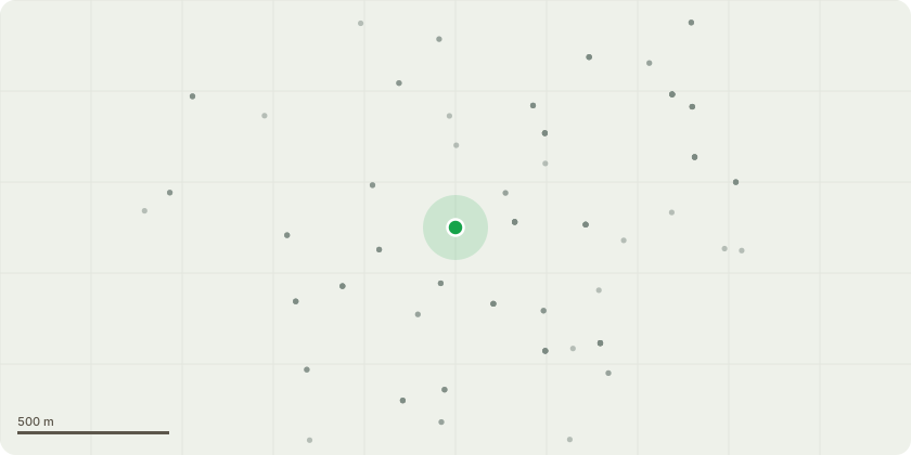
Approximate location
Proposal
This application is for the removal of a large Oak tree listed as T1 on the sketch plan. I have been monitoring this tree and it's health for a number of years and it has now become very unsafe to have such a large tree next to the property and driveway with a large limb recently coming down and hitting a parked car causing thousands in damages. The crown of the tree is in heavy decline with almost 30% less live foilage than the previous year. Honey fungus is very active around the base of the tree with large decay in the main stem causing hollow voids of up to 10ft in the stem. The homeowner is conccerned about their safety and the safety of their neighbours due to multiple large limbs dropping. The property has lots of large healthy trees and the customer is worried about the fungus spreading to other trees. I believe the safest option is a complete removal from site and disposed of accordingly. A new tree of the tree officers choice will be planted in replacement if you choose to accept the proposal. All work BS3998 compliant.
Key dates
- Received 13 Sept 2024
- Validated 13 Sept 2024
- Started 13 Sept 2024
- Decided 8 Nov 2024
Planning history / related applications
No related planning applications have been identified in the current public OGL dataset.
Inside plotEdge
Go beyond the public record
This page is the public OGL record. plotEdge adds the private intelligence layer for this site - open it in the app to unlock:
- Ownership & title Registered owner and title from HM Land Registry.
- Viability & build potential Site scoring and development upside.
- Constraints Flood risk, green belt, conservation areas and designations.
- Approval signal Planning risk and approval-likelihood analysis.
- Comparable applications Decisions on similar nearby sites, side by side.
- Status alerts Get notified the moment this application changes.
Source: public planning application data from Reigate and Banstead, reused under the Open Government Licence v3.0. View the council source record. Council documents and drawings are not republished on plotEdge.