Reigate and Banstead
Reigate and Banstead/24/01567/TPO
Shell Oxford House Service Station Brighton Road Lower Kingswood Surrey KT20 6UP
- Reference
- Reigate and Banstead/24/01567/TPO
- Authority
- Reigate and Banstead
- Application type
- Tree preservation order
- Address
- Shell Oxford House Service Station Brighton Road Lower Kingswood Surrey KT20 6UP
- Postcode
- KT20 6UP
- Status
- Decided (Approved)
- Decision
- Approved with Conditions
- Received
- 29 Aug 2024
- Validated
- 29 Aug 2024
- Started
- 29 Aug 2024
- Decided
- 24 Oct 2024
- Source council
- Reigate and Banstead
- Council source record
- View public record
- Public data licence
- Open Government Licence v3.0
- Record updated
- 18 Jul 2026
- SEO index generated
- 24 Jul 2026
Location
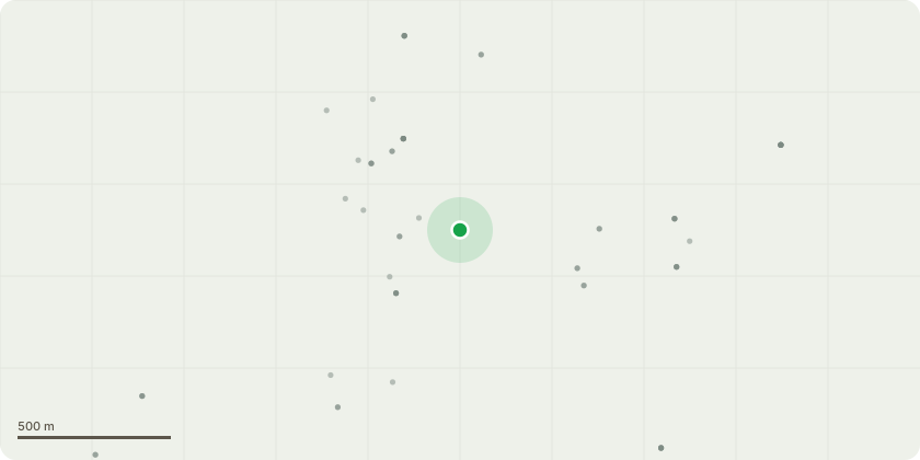
Approximate location
Proposal
SEE CONDITION 2 FOR APPROVED WORKS PJL Group work as tree surgeons for Shell UK, the owners of the petrol station Shell Oxford House, KT20 6UP. Surrey Highways have requested Shell cut back their trees adjacent to Brighton Road in order to comply with Highways regulations. Since all the trees are subject to the blanket TPO BAN177 we are therefore submitting this application in order for you to kindly approve our works to address and comply with the Highways requirement. We intend to solely cut back to meet the Highways regs, nothing more. The works will require a major Traffic Management plan to close Brighton Road for cherry picker access and in turn we will endeavour to keep road closer to an absolute minimum. If you agree the works to be essential and approve, kindly note that we will of course carry out all by qualified arborists, we will check thoroughly for both roosting bats and nesting birds and adjust timings as necessary if anything is found on our pre-works ecology survey.
Key dates
- Received 29 Aug 2024
- Validated 29 Aug 2024
- Started 29 Aug 2024
- Decided 24 Oct 2024
Planning history / related applications
No related planning applications have been identified in the current public OGL dataset.
Inside plotEdge
Go beyond the public record
This page is the public OGL record. plotEdge adds the private intelligence layer for this site - open it in the app to unlock:
- Ownership & title Registered owner and title from HM Land Registry.
- Viability & build potential Site scoring and development upside.
- Constraints Flood risk, green belt, conservation areas and designations.
- Approval signal Planning risk and approval-likelihood analysis.
- Comparable applications Decisions on similar nearby sites, side by side.
- Status alerts Get notified the moment this application changes.
Source: public planning application data from Reigate and Banstead, reused under the Open Government Licence v3.0. View the council source record. Council documents and drawings are not republished on plotEdge.