Reigate and Banstead
Reigate and Banstead/24/01542/TPO
Surrey County Council Woodhatch Place 11 Cockshot Hill Reigate Surrey RH2 8EF
- Reference
- Reigate and Banstead/24/01542/TPO
- Authority
- Reigate and Banstead
- Application type
- Tree preservation order
- Address
- Surrey County Council Woodhatch Place 11 Cockshot Hill Reigate Surrey RH2 8EF
- Postcode
- RH2 8EF
- Status
- Decided (Approved)
- Decision
- Approved with Conditions
- Received
- 22 Aug 2024
- Validated
- 22 Aug 2024
- Started
- 22 Aug 2024
- Decided
- 30 Sept 2024
- Source council
- Reigate and Banstead
- Council source record
- View public record
- Public data licence
- Open Government Licence v3.0
- Record updated
- 18 Jul 2026
- SEO index generated
- 24 Jul 2026
Location
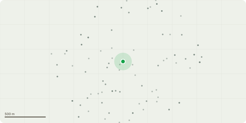
Approximate location
Proposal
Overhanging vegetation reducing width of the foot-way causing pedestrians to walk in the public highway. The vegetation concerned is predominantly ivy and self seeded elm, elder and other mixed broadleaved species outside of the chain-link boundary fence. Some overhang of trees listed in the TPO/717/1996 schedule including yew, sycamore, lime, Portugal laurel, oak, western red cedar, holly Norway maple and sweet chestnut (referred to as G01). The works specification is to cut back up to a maximum of 0.8 m in places and up to a maximum height of 3.5 m to ensure adequate clearances are achieved. Pruning of tree branches will be kept to a bare minimum and keeping pruning wound diameters to a bare minimum and in accordance with BS 3998:2010 'Tree Works - Recommendations'.
Key dates
- Received 22 Aug 2024
- Validated 22 Aug 2024
- Started 22 Aug 2024
- Decided 30 Sept 2024
Planning history / related applications
No related planning applications have been identified in the current public OGL dataset.
Inside plotEdge
Go beyond the public record
This page is the public OGL record. plotEdge adds the private intelligence layer for this site - open it in the app to unlock:
- Ownership & title Registered owner and title from HM Land Registry.
- Viability & build potential Site scoring and development upside.
- Constraints Flood risk, green belt, conservation areas and designations.
- Approval signal Planning risk and approval-likelihood analysis.
- Comparable applications Decisions on similar nearby sites, side by side.
- Status alerts Get notified the moment this application changes.
Source: public planning application data from Reigate and Banstead, reused under the Open Government Licence v3.0. View the council source record. Council documents and drawings are not republished on plotEdge.