Reigate and Banstead
Reigate and Banstead/24/01528/CAN
18 Grovehill Road Redhill Surrey RH1 6PJ
- Reference
- Reigate and Banstead/24/01528/CAN
- Authority
- Reigate and Banstead
- Application type
- CAN
- Address
- 18 Grovehill Road Redhill Surrey RH1 6PJ
- Postcode
- RH1 6PJ
- Status
- Decided (Approved)
- Decision
- Approved
- Received
- 21 Aug 2024
- Validated
- 21 Aug 2024
- Started
- 21 Aug 2024
- Decided
- 26 Sept 2024
- Source council
- Reigate and Banstead
- Council source record
- View public record
- Public data licence
- Open Government Licence v3.0
- Record updated
- 18 Jul 2026
- SEO index generated
- 24 Jul 2026
Location
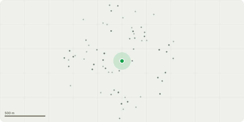
Approximate location
Proposal
1) Felling of two sycamore trees. The property lacks a fence along c.25 metres of its eastern boundary that surrounds the house, with the boundary defined instead by a tree line of 19 trees, comprising primarily sycamore trees, but also a lime and holly trees. The tree line has regular gaps and is not secure, evidenced by a burglary on the 15th August with the burglar stepping through the tree line from the neighbouring access road to garages on the eastern boundary of the property. In order to erect a straight fence line to secure the property, we have been advised by multiple fencing contractors that two sycamore trees need to be felled to create a straight line along the remainder of the tree line to avoid conceding a material section of the width of the garden. We therefore intend to fell two trees that are positioned further into the garden (out of line with the rest of the trees). 2) Pruning / reduction of crown of sycamore tree in close proximity to the property. There is a sycamore tree within five metres of the property with branches touching the windows of the property and causing a nuisance / noise when touching the window. We intend to prune the tree and reduce the size of the offending branches to give clearance to the house.
Key dates
- Received 21 Aug 2024
- Validated 21 Aug 2024
- Started 21 Aug 2024
- Decided 26 Sept 2024
Planning history / related applications
No related planning applications have been identified in the current public OGL dataset.
Inside plotEdge
Go beyond the public record
This page is the public OGL record. plotEdge adds the private intelligence layer for this site - open it in the app to unlock:
- Ownership & title Registered owner and title from HM Land Registry.
- Viability & build potential Site scoring and development upside.
- Constraints Flood risk, green belt, conservation areas and designations.
- Approval signal Planning risk and approval-likelihood analysis.
- Comparable applications Decisions on similar nearby sites, side by side.
- Status alerts Get notified the moment this application changes.
Source: public planning application data from Reigate and Banstead, reused under the Open Government Licence v3.0. View the council source record. Council documents and drawings are not republished on plotEdge.