Redbridge
Redbridge/3852/22/04
Development At Snaresbrook Station Car Park, High Street, WANSTEAD, London
- Reference
- Redbridge/3852/22/04
- Authority
- Redbridge
- Application type
- Non-Material Amendment(s)
- Address
- Development At Snaresbrook Station Car Park, High Street, WANSTEAD, London
- Status
- Decided
- Decision
- Granted/Approved/Agreed
- Received
- 10 Jan 2025
- Validated
- 14 Jan 2025
- Started
- 14 Jan 2025
- Decided
- 29 Jan 2025
- Source council
- Redbridge
- Council source record
- View public record
- Public data licence
- Open Government Licence v3.0
- Record updated
- 18 Jul 2026
- SEO index generated
- 24 Jul 2026
Location
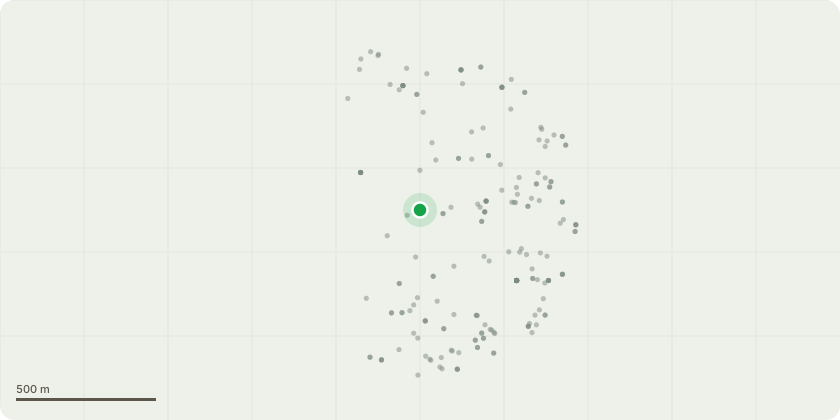
Approximate location
Proposal
Non-material amendment to approved permission 3852/22: changes to east facing bedroom windows to remove the acoustic purge panel and replace with acoustic glazing behind the same perforated panel. Replace the low level fixed window with a solid-coloured enamel glass window. Substation doors- S/O widened, head raised and combination of two vertical recessed strips to one large recess louvre. Lift Overrun- height lowered. Perforated panels replaced with facing brickwork to end of Fifth Floor facade. North elevation - curtain walling to end of corridor narrowed and transom configuration amended to suit AOV requirements. West elevation - fifth Floor glazing configuration revised with spandrel panels at head and cill. West elevation - First to Fifth Floor glazing configuration revised with horizontal transoms to suit AOV requirements in central lobby area. West elevation - Entrance door system single leaf door replaced with fixed panel. East elevation - Ground-First Floor feature brick recess removed o match 'bays' above to suit structural opening positions and dry riser added. East elevation - Ground-First Floor feature brick recess combined to match 'bays' above and suit structural opening positions (summary)
Key dates
- Received 10 Jan 2025
- Validated 14 Jan 2025
- Started 14 Jan 2025
- Decided 29 Jan 2025
Planning history / related applications
No related planning applications have been identified in the current public OGL dataset.
Inside plotEdge
Go beyond the public record
This page is the public OGL record. plotEdge adds the private intelligence layer for this site - open it in the app to unlock:
- Ownership & title Registered owner and title from HM Land Registry.
- Viability & build potential Site scoring and development upside.
- Constraints Flood risk, green belt, conservation areas and designations.
- Approval signal Planning risk and approval-likelihood analysis.
- Comparable applications Decisions on similar nearby sites, side by side.
- Status alerts Get notified the moment this application changes.
Source: public planning application data from Redbridge, reused under the Open Government Licence v3.0. View the council source record. Council documents and drawings are not republished on plotEdge.