Redbridge
Redbridge/1759/23/14
Development At Evergreen Field Former 28 And 30, High Street, London
- Reference
- Redbridge/1759/23/14
- Authority
- Redbridge
- Application type
- Non-Material Amendment(s)
- Address
- Development At Evergreen Field Former 28 And 30, High Street, London
- Status
- Decided
- Decision
- Granted/Approved/Agreed
- Received
- 15 Sept 2025
- Validated
- 16 Sept 2025
- Started
- 16 Sept 2025
- Decided
- 28 Nov 2025
- Source council
- Redbridge
- Council source record
- View public record
- Public data licence
- Open Government Licence v3.0
- Record updated
- 18 Jul 2026
- SEO index generated
- 24 Jul 2026
Location
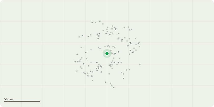
Approximate location
Proposal
Non-material amendment to approved permission 1759/23 (as amended by Non-Material Amendment 1759/23/07) : Alteration to party wall depths to comply with Building Regulations Part L, with resulting extension to the footprint of the building to the rear by 777.5mm. Alteration to depth of service risers and smoke ducts to achieve minimum 850mm required within Building Regulations Part B for natural smoke shafts. Adjustments to layouts of homes to comply with nationally described space standards, Building Regulations Part M, and design guidance. Door, window, and building line positions amended to align with unit layouts. A window omitted to two kitchens where these clashed with kitchen counters and cupboards. Brick piers added to rear south corner balcony. Introduction of a substation at ground floor level to meet the requirements of UKPN and window omitted at ground floor. (Summary).
Key dates
- Received 15 Sept 2025
- Validated 16 Sept 2025
- Started 16 Sept 2025
- Decided 28 Nov 2025
Planning history / related applications
No related planning applications have been identified in the current public OGL dataset.
Inside plotEdge
Go beyond the public record
This page is the public OGL record. plotEdge adds the private intelligence layer for this site - open it in the app to unlock:
- Ownership & title Registered owner and title from HM Land Registry.
- Viability & build potential Site scoring and development upside.
- Constraints Flood risk, green belt, conservation areas and designations.
- Approval signal Planning risk and approval-likelihood analysis.
- Comparable applications Decisions on similar nearby sites, side by side.
- Status alerts Get notified the moment this application changes.
Source: public planning application data from Redbridge, reused under the Open Government Licence v3.0. View the council source record. Council documents and drawings are not republished on plotEdge.