Redbridge
Redbridge/1018/25
Development At Ilford Retail Park 261 To 275 And Probation Office 277 To 289, High Road, Ilford
- Reference
- Redbridge/1018/25
- Authority
- Redbridge
- Address
- Development At Ilford Retail Park 261 To 275 And Probation Office 277 To 289, High Road, Ilford
- Status
- Planning Committee item
- Received
- 7 Apr 2025
- Validated
- 9 May 2025
- Started
- 9 May 2025
- Source council
- Redbridge
- Council source record
- View public record
- Public data licence
- Open Government Licence v3.0
- Record updated
- 18 Jul 2026
- SEO index generated
- 24 Jul 2026
Location
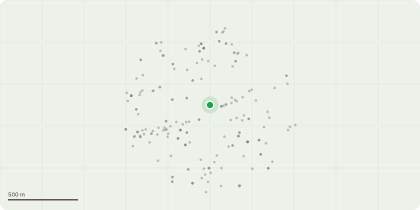
Approximate location
Proposal
Variation of conditions of approved permission 0140/20 (As amended by application 0140/20/01): Approved Documents (Condition 5) ; Quantum of Floorspace (Condition 7); Plans and Documents (Condition 8); Energy Strategy (Condition 12); Construction Management and Logistics Plan (Condition 13); Demolition and Construction Environmental Management Plan (Condition 15); Housing Accommodation Schedule (Condition 16); Delivery and Service Management Plan, including Waste Management Plan (Condition 23); Detailed Delivery and Service Management Plan, including Waste Management Plan - School (Condition 24); Transport Strategy (Condition 29); Communal Spaces (Condition 47); Geoarchaeological Modelling (Condition 53); Archaeological Trench Evaluation and Excavation (Condition 54); Foundation and Below Ground Design (Condition 55); Presentation (Condition 56); Monitoring (Condition 57); Maximum Approved Land Use Quantums (Condition 99). Removal of Conditions: School internal and external areas (Condition 49); School - acoustic design (Condition 50). (summary) The development is subject to an Environmental Impact Assessment (EIA) and includes an Environmental Statement Addendum. [Conditions varied to reflect: Revised residential mix, to include Co-living Floorspace and Purpose-Built Student Accommodation; Minor increase in maximum approved building heights; Removal of primary school from Masterplan; Retention of Probation Centre; Reduced basement excavation; and Changes to provision of public open space, cycle parking, car parking, and on-site landscaping works.]
Key dates
- Received 7 Apr 2025
- Validated 9 May 2025
- Started 9 May 2025
Planning history / related applications
No related planning applications have been identified in the current public OGL dataset.
Inside plotEdge
Go beyond the public record
This page is the public OGL record. plotEdge adds the private intelligence layer for this site - open it in the app to unlock:
- Ownership & title Registered owner and title from HM Land Registry.
- Viability & build potential Site scoring and development upside.
- Constraints Flood risk, green belt, conservation areas and designations.
- Approval signal Planning risk and approval-likelihood analysis.
- Comparable applications Decisions on similar nearby sites, side by side.
- Status alerts Get notified the moment this application changes.
Source: public planning application data from Redbridge, reused under the Open Government Licence v3.0. View the council source record. Council documents and drawings are not republished on plotEdge.