Reading
Reading/PL/25/1570
HALL FARM, CHURCH LANE, ARBORFIELD, RG2 9HX (Loddon Garden Village)
- Reference
- Reading/PL/25/1570
- Authority
- Reading
- Application type
- Adjacent Authority Consultation
- Address
- HALL FARM, CHURCH LANE, ARBORFIELD, RG2 9HX (Loddon Garden Village)
- Postcode
- RG2 9HX
- Status
- Under Consultation
- Received
- 3 Nov 2025
- Started
- 3 Nov 2025
- Source council
- Reading
- Council source record
- View public record
- Public data licence
- Open Government Licence v3.0
- Record updated
- 12 Jul 2026
- SEO index generated
- 24 Jul 2026
Location
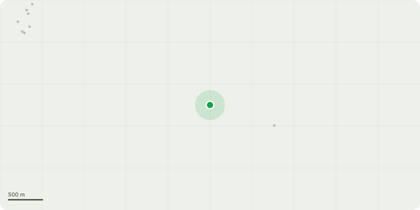
Approximate location
Proposal
Hybrid planning application 252498 (part in full, part in outline) comprising outline application for: up to 2,800 residential units to include up to 100 custom and selfbuild plots; 2 primary schools (up to 3 forms of entry) to include early years provision and 1 secondary school (up to 12 forms of entry); one District Centre, to incorporate up to 11,000m2 of Class E (Commercial, Business and Service, to include a food store of around 2,500m2), and Class F (Local Community and Learning); one Local Centre, to incorporate up to 2,400m2 of Class E; a Sports Hub to include sports pitches and pavilion space; up to 4,250m2 of further Class E, Class F, and sui generis development to include commercial, health care and public house; associated green infrastructure, landscaping, public open space, play areas, and ecological enhancement measures; 20 gypsy and traveller pitches; drainage and flood alleviation measures to include Sustainable Urban Drainage Systems (SUDS) and engineering measures within Loddon Valley for the River Loddon; associated highway / transport / supporting infrastructure including spine road, pedestrian and cycle connections; associated utilities, infrastructure, and engineering works, including the undergrounding of overhead lines and an electricity substation; up to 0.5ha of land adjoining St Bartholomew’s Church for use as cemetery. All matters reserved other than access, incorporating: access to highways, incorporating: a new pedestrian, cycle and vehicular access to Lower Earley Way via a new 4th arm to the Meldreth Way roundabout; a new pedestrian, cycle and vehicular bridge over the M4; a new pedestrian, cycle and vehicular bridge over the River Loddon; a new vehicular access to the A327 Reading Road, via a new arm to the Observer Way roundabout; a new pedestrian, cycle and vehicular access to Thames Valley Science Park; Phase 1 of internal roads including pedestrian / cycle routes, associated infrastructure, drainage and landscaping.
Key dates
- Received 3 Nov 2025
- Started 3 Nov 2025
Planning history / related applications
No related planning applications have been identified in the current public OGL dataset.
Inside plotEdge
Go beyond the public record
This page is the public OGL record. plotEdge adds the private intelligence layer for this site - open it in the app to unlock:
- Ownership & title Registered owner and title from HM Land Registry.
- Viability & build potential Site scoring and development upside.
- Constraints Flood risk, green belt, conservation areas and designations.
- Approval signal Planning risk and approval-likelihood analysis.
- Comparable applications Decisions on similar nearby sites, side by side.
- Status alerts Get notified the moment this application changes.
Source: public planning application data from Reading, reused under the Open Government Licence v3.0. View the council source record. Council documents and drawings are not republished on plotEdge.