Peterborough
Peterborough/26/002539/PRIOR
Nunton Lodge Maxey Road Maxey Peterborough PE6 9HG
- Reference
- Peterborough/26/002539/PRIOR
- Authority
- Peterborough
- Application type
- Prior Approval
- Address
- Nunton Lodge Maxey Road Maxey Peterborough PE6 9HG
- Postcode
- PE6 9HG
- Status
- Allocated
- Received
- 30 Jun 2026
- Validated
- 30 Jun 2026
- Started
- 30 Jun 2026
- Source council
- Peterborough
- Council source record
- View public record
- Public data licence
- Open Government Licence v3.0
- Record updated
- 20 Jul 2026
- SEO index generated
- 24 Jul 2026
Location
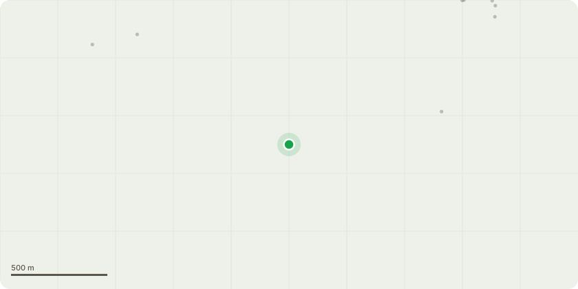
Approximate location
Proposal
Designed details: The building a purpose-built agricultural building Necessary details: Existing on-site storage facilities are limited in both capacity and functionality. Whilst they provide some short-term storage, they are insufficient to meet the business's longer-term crop storage requirements. The proposed building will therefore enhance the operational efficiency of the holding by increasing storage capacity and providing greater flexibility in the marketing and management of harvested crops. In addition, the building will provide improved storage conditions and a safer internal working environment for the operation and maintenance of agricultural machinery. The proposed development has been designed to utilise the existing structural frame from the building located off Kartharine Way , together with new external cladding and modern construction materials. Building description: A purpose-built framed general purpose agricultural building, with five 15 feet sectioned bays and a roller shutter door on the norther elevation
Key dates
- Received 30 Jun 2026
- Validated 30 Jun 2026
- Started 30 Jun 2026
Planning history / related applications
No related planning applications have been identified in the current public OGL dataset.
Inside plotEdge
Go beyond the public record
This page is the public OGL record. plotEdge adds the private intelligence layer for this site - open it in the app to unlock:
- Ownership & title Registered owner and title from HM Land Registry.
- Viability & build potential Site scoring and development upside.
- Constraints Flood risk, green belt, conservation areas and designations.
- Approval signal Planning risk and approval-likelihood analysis.
- Comparable applications Decisions on similar nearby sites, side by side.
- Status alerts Get notified the moment this application changes.
Source: public planning application data from Peterborough, reused under the Open Government Licence v3.0. View the council source record. Council documents and drawings are not republished on plotEdge.