Peterborough
Peterborough/26/002428/LBC
4, Ladds Lane, Maxey, Peterborough, PE6 9HD
- Reference
- Peterborough/26/002428/LBC
- Authority
- Peterborough
- Application type
- Listed Building Consent
- Address
- 4, Ladds Lane, Maxey, Peterborough, PE6 9HD
- Postcode
- PE6 9HD
- Status
- Pending Consideration
- Received
- 29 May 2026
- Validated
- 29 May 2026
- Started
- 29 May 2026
- Source council
- Peterborough
- Council source record
- View public record
- Public data licence
- Open Government Licence v3.0
- Record updated
- 20 Jul 2026
- SEO index generated
- 24 Jul 2026
Location
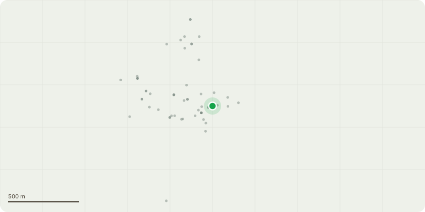
Approximate location
Proposal
Removal of two existing plastic soil vent pipes from the front elevation, Relocation and consolidation of drainage runs into a single new black soil stack positioned on the left-hand flank elevation, Re-routing of associated drainage runs to the right-hand flank elevation where required, Relocation of the kitchen sink beneath the left-hand elevation window, Routing of new waste connections below ground level to connect into the existing drainage system, minimising visible external pipework, Repositioning of extractor fan vents associated with the revised internal arrangement, Removal of the existing plastic extractor vent cover to the right-hand side of the front entrance door, with the opening to be made good internally and externally using materials to match the existing dwelling, Formation of new extractor vent
Key dates
- Received 29 May 2026
- Validated 29 May 2026
- Started 29 May 2026
Planning history / related applications
No related planning applications have been identified in the current public OGL dataset.
Inside plotEdge
Go beyond the public record
This page is the public OGL record. plotEdge adds the private intelligence layer for this site - open it in the app to unlock:
- Ownership & title Registered owner and title from HM Land Registry.
- Viability & build potential Site scoring and development upside.
- Constraints Flood risk, green belt, conservation areas and designations.
- Approval signal Planning risk and approval-likelihood analysis.
- Comparable applications Decisions on similar nearby sites, side by side.
- Status alerts Get notified the moment this application changes.
Source: public planning application data from Peterborough, reused under the Open Government Licence v3.0. View the council source record. Council documents and drawings are not republished on plotEdge.