Pendle
Pendle/26/0430/TPO
11 Applegarth Barrowford Lancashire BB9 6RR
- Reference
- Pendle/26/0430/TPO
- Authority
- Pendle
- Application type
- Tree preservation order
- Address
- 11 Applegarth Barrowford Lancashire BB9 6RR
- Postcode
- BB9 6RR
- Status
- Registered
- Received
- 30 Jun 2026
- Started
- 30 Jun 2026
- Source council
- Pendle
- Council source record
- View public record
- Public data licence
- Open Government Licence v3.0
- Record updated
- 18 Jul 2026
- SEO index generated
- 24 Jul 2026
Location
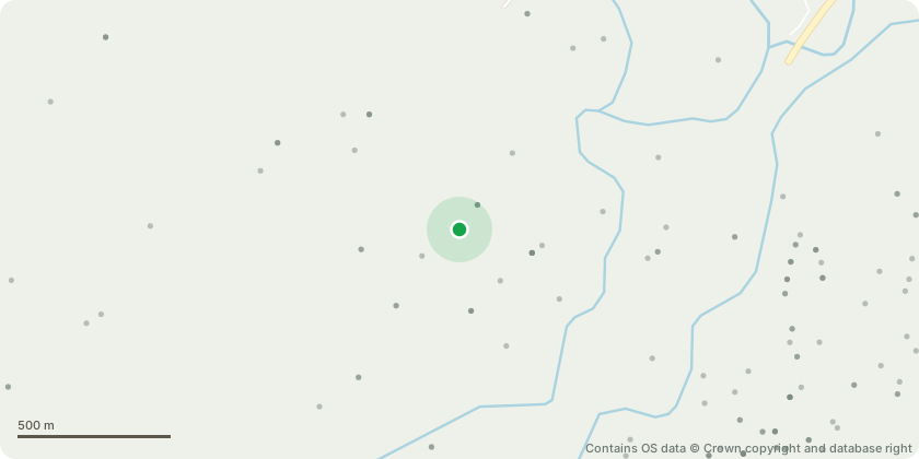
Approximate location - Contains OS data © Crown copyright and database right
Proposal
T1 on the plan is a Sycamore, the tree has suffered damage to the first 2.5M if trunk. Probable caused by a fire in the past, The bark and cambium has been removed, exposing the heart wood, this wood has begun to decay. The tree is not yet unsafe, but there is no possibility of the tree will recovering from this damage and in time the tree will become unsafe. The home owner is fearful that the tree could fall and this is causing her concern. She would like us to remove this tree. She is happy to plant a replacement tree at the rear of the garden.T2 on the plan is a Weeping Beech. We wish to slightly crown lift this tree to around 5.5M, removing mainly hanging tips and small suckers, to allow more light and give better clearance over the summerhouse.
Key dates
- Received 30 Jun 2026
- Started 30 Jun 2026
Planning history / related applications
No related planning applications have been identified in the current public OGL dataset.
Inside plotEdge
Go beyond the public record
This page is the public OGL record. plotEdge adds the private intelligence layer for this site - open it in the app to unlock:
- Ownership & title Registered owner and title from HM Land Registry.
- Viability & build potential Site scoring and development upside.
- Constraints Flood risk, green belt, conservation areas and designations.
- Approval signal Planning risk and approval-likelihood analysis.
- Comparable applications Decisions on similar nearby sites, side by side.
- Status alerts Get notified the moment this application changes.
Source: public planning application data from Pendle, reused under the Open Government Licence v3.0. View the council source record. Council documents and drawings are not republished on plotEdge.