Oxford
Oxford/26/00861/CAT
Staff Residence Plater College Pullens Lane Oxford Oxfordshire OX3 0DT
- Reference
- Oxford/26/00861/CAT
- Authority
- Oxford
- Application type
- CAT
- Address
- Staff Residence Plater College Pullens Lane Oxford Oxfordshire OX3 0DT
- Postcode
- OX3 0DT
- Status
- Decided
- Decision
- Raise No Objection
- Received
- 8 Apr 2026
- Validated
- 15 Apr 2026
- Started
- 15 Apr 2026
- Decided
- 19 May 2026
- Source council
- Oxford
- Council source record
- View public record
- Public data licence
- Open Government Licence v3.0
- Record updated
- 18 Jul 2026
- SEO index generated
- 24 Jul 2026
Location
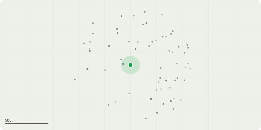
Approximate location
Proposal
Works and fell various trees as specified by Bruno Walter in the Headington Hill Conservation Area.T5458 (Apple): Fell to ground levelT566 (False Acacia): Fell to ground level. T5443 (Common Yew): Fell to ground level T5446 (Common Beech): Fell to ground level. T414 (Common Beech): Fell to ground level. G3 (Mixed Group): Remove 3 completely dead Elms. G7 (Mixed Group): Fell 1 dead Holly T562 (Sycamore): Pollard to induce at 8m T558 (Common Beech): Crown reduce by 10% (section over the northwest bench area). Maximum 60mm cuts. T537 (Horse Chestnut): Crown reduce by 10% (sections over the road) to relieve weight. Maximum 30mm cuts. T536 (Norway Maple): Crown reduce by 10% (limb over footpath). Maximum 30mm cuts to address a tight fork and fiber buckling. T556 & T415: Remove broken/hanging branches Cut back up to 3m from property/structures to give appropriate clearance for trees: T405, T560, G2, T1, T534, T546, T547, T557, G4 (Leylandii), T559, T563, G5, and G10. Lift canopies between 3m and 6m over footpaths, car parks, and highways to maintain statutory clearance for trees: T540, T543, T5466, G1, T424, G4 (Yew), T5451, and T5463.
Key dates
- Received 8 Apr 2026
- Validated 15 Apr 2026
- Started 15 Apr 2026
- Decided 19 May 2026
Planning history / related applications
No related planning applications have been identified in the current public OGL dataset.
Inside plotEdge
Go beyond the public record
This page is the public OGL record. plotEdge adds the private intelligence layer for this site - open it in the app to unlock:
- Ownership & title Registered owner and title from HM Land Registry.
- Viability & build potential Site scoring and development upside.
- Constraints Flood risk, green belt, conservation areas and designations.
- Approval signal Planning risk and approval-likelihood analysis.
- Comparable applications Decisions on similar nearby sites, side by side.
- Status alerts Get notified the moment this application changes.
Source: public planning application data from Oxford, reused under the Open Government Licence v3.0. View the council source record. Council documents and drawings are not republished on plotEdge.