Oxford
Oxford/26/00677/CAT
19A St Margaret's Road Oxford Oxfordshire OX2 6RX
- Reference
- Oxford/26/00677/CAT
- Authority
- Oxford
- Application type
- CAT
- Address
- 19A St Margaret's Road Oxford Oxfordshire OX2 6RX
- Postcode
- OX2 6RX
- Status
- Decided
- Decision
- Raise No Objection
- Received
- 17 Mar 2026
- Validated
- 17 Mar 2026
- Started
- 17 Mar 2026
- Decided
- 21 Apr 2026
- Source council
- Oxford
- Council source record
- View public record
- Public data licence
- Open Government Licence v3.0
- Record updated
- 18 Jul 2026
- SEO index generated
- 24 Jul 2026
Location
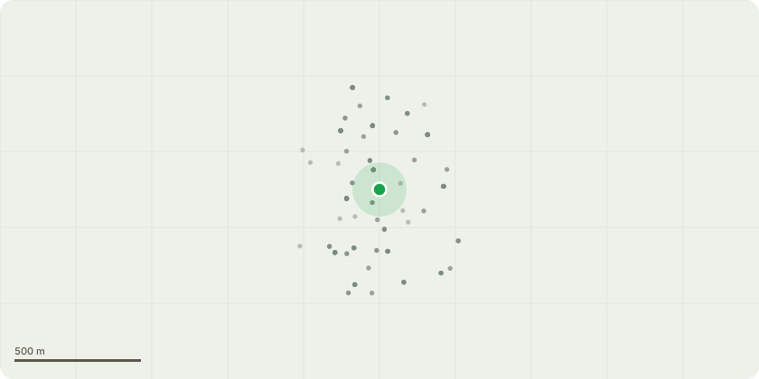
Approximate location
Proposal
Works and fell various trees as specified by Heritage Tree Services Ltd in the North Oxford Victorian Suburb Conservation Area.T1 Cherry Prune to contain size in location. Lateral growth by up to 1.0m in length on the side of the building & 1.5 selectively to balance crown.T2 Amelanchier Formative prune to contain size & encourage future form towards Diocese property boundariesT3 Sorbus spp Remove & replant.T4 Scots Pine Removal & replant.T7 Maple Light pruning works carried out to Church side to reduce contact with built structure. Maintain pruning to reduce conflict with built structure when required.S1 Portuguese Prune to contain size in location. To include small Laburnum. Reduce by up to 1.0m in height & 0.5m of lateral growthG1 Laurel. Elm Prune branches in contact with built structures to achieve a clearance of up to 0.5m. Remove dead Elms. Maintain statutory clearance over public footpath & highway when required.G2 Yew Group of 5 trees forming a communal crown. Prune laurel branches growing towards neighbouring property selectively to maintain clearance from property. This will remove up to 1m of growth selectively from longer branches.T8 Holly Maintain statutory clearance over highway when required.T9 Magnolia Prune to below second story windows. Pune in an attempt to regain previous form.G3 Various Prune to maintain clearance over driveway Prune to achieve a clearance from boundary wall by targeting tertiary & secondary branchesG4 Pittosporum bamboo Remove Prune neighbouring back to boundary lineG5 Various Reduce to approximately 2.0m fgl (from ground level) & trim sides to maintain as mixed species hedge.
Key dates
- Received 17 Mar 2026
- Validated 17 Mar 2026
- Started 17 Mar 2026
- Decided 21 Apr 2026
Planning history / related applications
No related planning applications have been identified in the current public OGL dataset.
Inside plotEdge
Go beyond the public record
This page is the public OGL record. plotEdge adds the private intelligence layer for this site - open it in the app to unlock:
- Ownership & title Registered owner and title from HM Land Registry.
- Viability & build potential Site scoring and development upside.
- Constraints Flood risk, green belt, conservation areas and designations.
- Approval signal Planning risk and approval-likelihood analysis.
- Comparable applications Decisions on similar nearby sites, side by side.
- Status alerts Get notified the moment this application changes.
Source: public planning application data from Oxford, reused under the Open Government Licence v3.0. View the council source record. Council documents and drawings are not republished on plotEdge.