Oxford
Oxford/26/00468/VAR
Grandpont House Abingdon Road Oxford Oxfordshire OX1 4LD
- Reference
- Oxford/26/00468/VAR
- Authority
- Oxford
- Application type
- Variation of condition
- Address
- Grandpont House Abingdon Road Oxford Oxfordshire OX1 4LD
- Postcode
- OX1 4LD
- Status
- Decided
- Decision
- Approved
- Received
- 23 Feb 2026
- Validated
- 2 Mar 2026
- Started
- 2 Mar 2026
- Decided
- 8 May 2026
- Source council
- Oxford
- Council source record
- View public record
- Public data licence
- Open Government Licence v3.0
- Record updated
- 18 Jul 2026
- SEO index generated
- 24 Jul 2026
Location
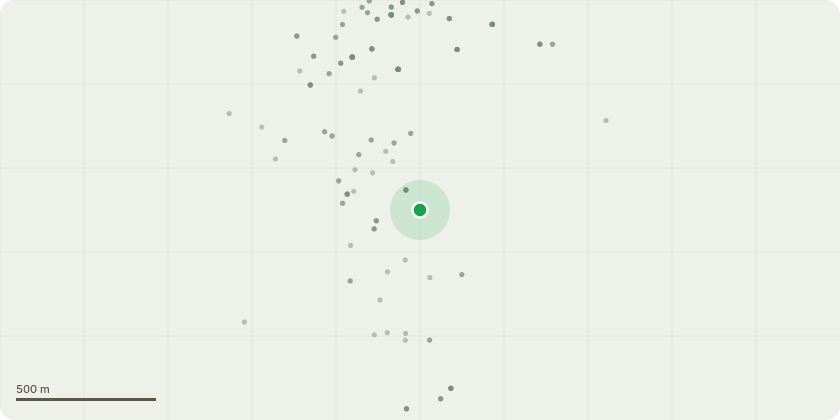
Approximate location
Proposal
Variation of condition 2 (LBC consent - approved plans) and condition 12 (Occupancy) of listed building consent 24/00789/LBC (Proposed internal and external refurbishment of Grandpont House including the removal of a number of late C19 and C20 partition walls, repairs to historic fabric, removal of render, repair and local rebuilding of decayed timber frame and application of new, traditional lime render to external walls; alterations to windows; upgrading of building fabric to improve thermal performance and installation of new heating and ventilation system. Installation of solar pv. panels on inward facing slopes of principal listed building. Alteration and rebuilding of late C19 outbuilding range. Demolition of late C19 additions to the principal listed building and replacement with a single-storey extension to north and west of Grandpont House to provide a purpose-built chapel, entrance hall and link to refurbished, late C19 outbuildings. (Amended Plans)) to allow completion of outbuildings before the refurbishment of Grandpont House.
Key dates
- Received 23 Feb 2026
- Validated 2 Mar 2026
- Started 2 Mar 2026
- Decided 8 May 2026
Planning history / related applications
No related planning applications have been identified in the current public OGL dataset.
Inside plotEdge
Go beyond the public record
This page is the public OGL record. plotEdge adds the private intelligence layer for this site - open it in the app to unlock:
- Ownership & title Registered owner and title from HM Land Registry.
- Viability & build potential Site scoring and development upside.
- Constraints Flood risk, green belt, conservation areas and designations.
- Approval signal Planning risk and approval-likelihood analysis.
- Comparable applications Decisions on similar nearby sites, side by side.
- Status alerts Get notified the moment this application changes.
Source: public planning application data from Oxford, reused under the Open Government Licence v3.0. View the council source record. Council documents and drawings are not republished on plotEdge.