Oxford
Oxford/25/02840/CAT
5 Mansfield Road Oxford Oxfordshire OX1 3SZ
- Reference
- Oxford/25/02840/CAT
- Authority
- Oxford
- Application type
- CAT
- Address
- 5 Mansfield Road Oxford Oxfordshire OX1 3SZ
- Postcode
- OX1 3SZ
- Status
- Decided
- Decision
- Raise No Objection
- Received
- 27 Oct 2025
- Validated
- 27 Oct 2025
- Started
- 27 Oct 2025
- Decided
- 24 Nov 2025
- Source council
- Oxford
- Council source record
- View public record
- Public data licence
- Open Government Licence v3.0
- Record updated
- 18 Jul 2026
- SEO index generated
- 24 Jul 2026
Location
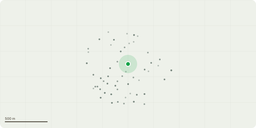
Approximate location
Proposal
Works to various trees as specified by Mr. Robert Douglas Brown in the Central Conservation area.940 Walnut sp. Sever remove ivyG7 a mixed hedgerow Reduce all vegetation back to boundary line for future management. 901 Betula sp. Dead Prunus adjacent - remove Prunus927 Prunus sp. Crown lift to statutory clearance and reduce crown 15%929 Fraxinus sp. Clear ivy, on tennis courtside: remove lowest limb and reduce canopy 15%935 Malus sp Sever ivy on adjacent lilac939 Juglans sp Reactive growth from coppice on decayed stump - fell to ground level942 Juglans sp. Remove major deadwood945 Juglans sp. Reduce canopy for clearance and roofline.946 Ilex sp. Cut back to clear lamp, sign and footpath.903 Gleditsia triancanthos Insert cobra cable brace930 Juglans sp. Crown lift over roofline and remove deadwood931 Ligustrum sp. Reduce crown 20%932 Taxus sp. Reduce growth over boundary937 Juglans sp. Reduce canopy over boundaryG5 Group comprised of self-seeded sycamores, elder, pyracantha and holly at the back of #5. Fell and treat all self-seeded sycamores,nonviable trees and dying specimens to manage vegetation.
Key dates
- Received 27 Oct 2025
- Validated 27 Oct 2025
- Started 27 Oct 2025
- Decided 24 Nov 2025
Planning history / related applications
No related planning applications have been identified in the current public OGL dataset.
Inside plotEdge
Go beyond the public record
This page is the public OGL record. plotEdge adds the private intelligence layer for this site - open it in the app to unlock:
- Ownership & title Registered owner and title from HM Land Registry.
- Viability & build potential Site scoring and development upside.
- Constraints Flood risk, green belt, conservation areas and designations.
- Approval signal Planning risk and approval-likelihood analysis.
- Comparable applications Decisions on similar nearby sites, side by side.
- Status alerts Get notified the moment this application changes.
Source: public planning application data from Oxford, reused under the Open Government Licence v3.0. View the council source record. Council documents and drawings are not republished on plotEdge.