Oxford
Oxford/25/01247/CAT
24 Leckford Road Oxford Oxfordshire OX2 6HX
- Reference
- Oxford/25/01247/CAT
- Authority
- Oxford
- Application type
- CAT
- Address
- 24 Leckford Road Oxford Oxfordshire OX2 6HX
- Postcode
- OX2 6HX
- Status
- Decided
- Decision
- Raise No Objection
- Received
- 21 May 2025
- Validated
- 21 May 2025
- Started
- 21 May 2025
- Decided
- 20 Jun 2025
- Source council
- Oxford
- Council source record
- View public record
- Public data licence
- Open Government Licence v3.0
- Record updated
- 18 Jul 2026
- SEO index generated
- 24 Jul 2026
Location
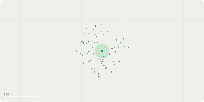
Approximate location
Proposal
Fell 1no. Cotoneaster Tree as specified by North Oxford Trees And Gardens in the Walton Manor Conservation area.This is a large specimen which has out grown its purpose and locationThe upper crown extends over and into the road hindering vehicle accessIt was originally planned to prune back the heavy branches over the road but the multi-stemmed and interwoven form of the tree would make this difficult to keep any sense of shape. The two larger stems are also pushing the boundary walls over into the pavement and the main stump is also causing severe cracking on the neighbours side wall having grown too big.There is no alternative other than to remove the entire tree, grind out the stump, and rebuild the wall and gate pillars.A smaller more suitable replacement plant will be replanted
Key dates
- Received 21 May 2025
- Validated 21 May 2025
- Started 21 May 2025
- Decided 20 Jun 2025
Planning history / related applications
No related planning applications have been identified in the current public OGL dataset.
Inside plotEdge
Go beyond the public record
This page is the public OGL record. plotEdge adds the private intelligence layer for this site - open it in the app to unlock:
- Ownership & title Registered owner and title from HM Land Registry.
- Viability & build potential Site scoring and development upside.
- Constraints Flood risk, green belt, conservation areas and designations.
- Approval signal Planning risk and approval-likelihood analysis.
- Comparable applications Decisions on similar nearby sites, side by side.
- Status alerts Get notified the moment this application changes.
Source: public planning application data from Oxford, reused under the Open Government Licence v3.0. View the council source record. Council documents and drawings are not republished on plotEdge.