Oxford
Oxford/24/02892/VAR
17 17A 17B And 19 Between Towns Road Oxford Oxfordshire OX4 3LX
- Reference
- Oxford/24/02892/VAR
- Authority
- Oxford
- Application type
- Variation of condition
- Address
- 17 17A 17B And 19 Between Towns Road Oxford Oxfordshire OX4 3LX
- Postcode
- OX4 3LX
- Status
- Decided
- Decision
- Approved
- Received
- 3 Dec 2024
- Validated
- 3 Dec 2024
- Started
- 3 Dec 2024
- Decided
- 19 Mar 2025
- Source council
- Oxford
- Council source record
- View public record
- Public data licence
- Open Government Licence v3.0
- Record updated
- 18 Jul 2026
- SEO index generated
- 24 Jul 2026
Location
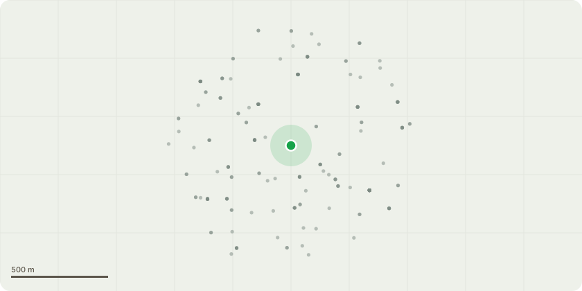
Approximate location
Proposal
Variation of condition 2 (Approved plans) of planning permission 23/00810/VAR (Variation of condition 2 (Approved plans) of planning permissions 21/00300/FUL ((Demolition of no's 17 and 17b Between Towns Road and Cowley Conservative Club. Erection of three, four and five storey building incorporating 189 student study rooms, indoor and outdoor communal space, bin and bicycle storage and ground floor space for local community use falling within F2 of the Use Classes Order as amended. (Amended plans)) and 23/00348/VAR (variation of conditions 2, 3, 9, 10, 12, 14, 15, 16, 17, 18 25), 26, and 31 of planning permission 21/00300/FUL)) to allow the plant room to be moved from GFL Southeast wing to a standalone single storey plant pavilion, increase studio provision from 33 units to 117, increase internal amenity space from 287m2 to 459m2, increase external amenity space from 473m2 to 629m2, new roof terrace added to Level 3 link roof, green roof locations amended from L2 link roof and green roof now on plant pavilion, cluster flats re-organised to maximum bedroom to kitchen ratio 8:1, minor amendments to layout, reposition of staircase D, revised landscape proposals to southern boundary due to plant pavilion, alterations to fenestration, relocation of bicycle storage, removal of black plinth details and Brise Soleil.
Key dates
- Received 3 Dec 2024
- Validated 3 Dec 2024
- Started 3 Dec 2024
- Decided 19 Mar 2025
Planning history / related applications
No related planning applications have been identified in the current public OGL dataset.
Inside plotEdge
Go beyond the public record
This page is the public OGL record. plotEdge adds the private intelligence layer for this site - open it in the app to unlock:
- Ownership & title Registered owner and title from HM Land Registry.
- Viability & build potential Site scoring and development upside.
- Constraints Flood risk, green belt, conservation areas and designations.
- Approval signal Planning risk and approval-likelihood analysis.
- Comparable applications Decisions on similar nearby sites, side by side.
- Status alerts Get notified the moment this application changes.
Source: public planning application data from Oxford, reused under the Open Government Licence v3.0. View the council source record. Council documents and drawings are not republished on plotEdge.