Oxford
Oxford/24/02608/LBC
29 Park Town Oxford Oxfordshire OX2 6SN
- Reference
- Oxford/24/02608/LBC
- Authority
- Oxford
- Application type
- Listed building consent
- Address
- 29 Park Town Oxford Oxfordshire OX2 6SN
- Postcode
- OX2 6SN
- Status
- Decided
- Decision
- Approved
- Received
- 1 Nov 2024
- Validated
- 6 Nov 2024
- Started
- 6 Nov 2024
- Decided
- 31 Jan 2025
- Source council
- Oxford
- Council source record
- View public record
- Public data licence
- Open Government Licence v3.0
- Record updated
- 18 Jul 2026
- SEO index generated
- 24 Jul 2026
Location
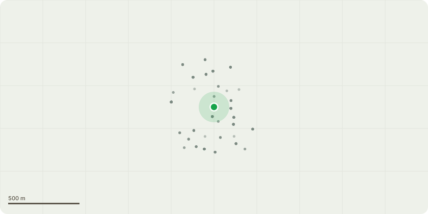
Approximate location
Proposal
Formation of 2no. dormers to front roofslope. Installation of flue to rear elevation. Insertion of 1no. rooflight to rear roofslope. Alterations to fenestration. Alterations to front basement lightwell. Replacement of rainwater goods. Repairs to the chimneys, roof coverings and lead flashings to front and rear elevations. Repairs to brickwork and isolated areas of repointing to rear. Minor reconfiguration of external drainage, vents and service runs. Repairs to copings to front and introduction of a lead drip detail. Replacement of existing bathrooms and kitchens; relocation of existing boiler; drainage improvement works and associated landscaping; installation of cavity membrane tanking system; reopening of rear basement vaults; installation of new shower room at basement level; re-instating historic details including cornices; replacement of internal doors; insertion of new door between the basement and ground floor levels; widening of existing opening between kitchen and dining room at ground floor level; repair of existing historic features including fireplaces, mouldings and floors; upgrade to mechanical and electrical services; internal redecoration works. (Amended Description)
Key dates
- Received 1 Nov 2024
- Validated 6 Nov 2024
- Started 6 Nov 2024
- Decided 31 Jan 2025
Planning history / related applications
No related planning applications have been identified in the current public OGL dataset.
Inside plotEdge
Go beyond the public record
This page is the public OGL record. plotEdge adds the private intelligence layer for this site - open it in the app to unlock:
- Ownership & title Registered owner and title from HM Land Registry.
- Viability & build potential Site scoring and development upside.
- Constraints Flood risk, green belt, conservation areas and designations.
- Approval signal Planning risk and approval-likelihood analysis.
- Comparable applications Decisions on similar nearby sites, side by side.
- Status alerts Get notified the moment this application changes.
Source: public planning application data from Oxford, reused under the Open Government Licence v3.0. View the council source record. Council documents and drawings are not republished on plotEdge.