Oxford
Oxford/23/02166/NMA4
BMW UK Manufacturing Ltd Garsington Road Oxford Oxfordshire OX4 6NL
- Reference
- Oxford/23/02166/NMA4
- Authority
- Oxford
- Application type
- Non-material amendment
- Address
- BMW UK Manufacturing Ltd Garsington Road Oxford Oxfordshire OX4 6NL
- Postcode
- OX4 6NL
- Status
- Decided
- Decision
- Approved
- Received
- 5 Jun 2025
- Validated
- 5 Jun 2025
- Started
- 5 Jun 2025
- Decided
- 17 Jul 2025
- Source council
- Oxford
- Council source record
- View public record
- Public data licence
- Open Government Licence v3.0
- Record updated
- 18 Jul 2026
- SEO index generated
- 24 Jul 2026
Location
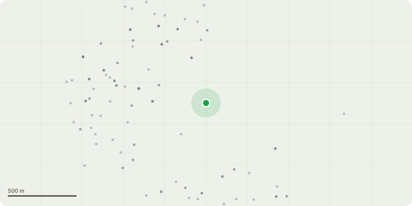
Approximate location
Proposal
Non-Material amendment to planning permission 23/02166/FUL to allow changes to the wording of condition 11 to state; Prior to the first occupation of the individual TKB, ILC and TPA areas as set out in the approved Site Plan (ref: 5021404-RDG-XX-XX-D-A-000001-01) hereby permitted, an agreement made pursuant to section 278 of the Highways Act 1980 shall be entered into with the Local Highway Authority for the works on the public highway associated with the changes to the vehicular accesses. This shall detail which works need to be completed and the timing they need to be completed by. The works are primarily to address safety concerns of pedestrians and cyclists and shall comply with LTN 1/20 and the Highway Code and condition 14 to state; No individual building shall be occupied until any approved remedial works related to that building have been carried out and a full validation report has been submitted to and approved in writing by the Local Planning Authority.
Key dates
- Received 5 Jun 2025
- Validated 5 Jun 2025
- Started 5 Jun 2025
- Decided 17 Jul 2025
Planning history / related applications
No related planning applications have been identified in the current public OGL dataset.
Inside plotEdge
Go beyond the public record
This page is the public OGL record. plotEdge adds the private intelligence layer for this site - open it in the app to unlock:
- Ownership & title Registered owner and title from HM Land Registry.
- Viability & build potential Site scoring and development upside.
- Constraints Flood risk, green belt, conservation areas and designations.
- Approval signal Planning risk and approval-likelihood analysis.
- Comparable applications Decisions on similar nearby sites, side by side.
- Status alerts Get notified the moment this application changes.
Source: public planning application data from Oxford, reused under the Open Government Licence v3.0. View the council source record. Council documents and drawings are not republished on plotEdge.