Oxford
Oxford/22/02799/NMA2
Wolfson College Linton Road Oxford Oxfordshire OX2 6UD
- Reference
- Oxford/22/02799/NMA2
- Authority
- Oxford
- Application type
- Non-material amendment
- Address
- Wolfson College Linton Road Oxford Oxfordshire OX2 6UD
- Postcode
- OX2 6UD
- Status
- Decided
- Decision
- Approved
- Received
- 16 Mar 2026
- Validated
- 16 Mar 2026
- Started
- 16 Mar 2026
- Decided
- 31 Mar 2026
- Source council
- Oxford
- Council source record
- View public record
- Public data licence
- Open Government Licence v3.0
- Record updated
- 18 Jul 2026
- SEO index generated
- 24 Jul 2026
Location
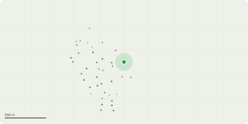
Approximate location
Proposal
Non-Material amendment to planning permission 22/02799/FUL to allow for the replacement of curtain walling to stair enclosure with solid aluminium panels to match plant screen enclosure, removal of vertical fins around stair and plant enclosure at roof level, replacement of flintstone cladding with light pointing to South elevation with a render finish and flint corner coins, introduction of render at facade inset areas, at entrance setback, balcony and building reveals, low brick plinth used at ground level for waterproofing reasons, removal of trellis and climbing plant wires, insertion of fixed louvre ventilation panel at ground floor kitchen, amendment of escape door width from stair at East elevation, bio diverse roof area increased to 260m2, alteration to hard landscape material around parking area and bays, re-enforced lawn width increased to accommodate fire tender vehicles, formation of timber sleeper steps to provide informal access route for pedestrians and amendment to proposed planting phasing plan to reflect growing seasons.
Key dates
- Received 16 Mar 2026
- Validated 16 Mar 2026
- Started 16 Mar 2026
- Decided 31 Mar 2026
Planning history / related applications
No related planning applications have been identified in the current public OGL dataset.
Inside plotEdge
Go beyond the public record
This page is the public OGL record. plotEdge adds the private intelligence layer for this site - open it in the app to unlock:
- Ownership & title Registered owner and title from HM Land Registry.
- Viability & build potential Site scoring and development upside.
- Constraints Flood risk, green belt, conservation areas and designations.
- Approval signal Planning risk and approval-likelihood analysis.
- Comparable applications Decisions on similar nearby sites, side by side.
- Status alerts Get notified the moment this application changes.
Source: public planning application data from Oxford, reused under the Open Government Licence v3.0. View the council source record. Council documents and drawings are not republished on plotEdge.