Oxford
Oxford/20/00116/NMA4
Fairfield 115 Banbury Road Oxford Oxfordshire OX2 6LA
- Reference
- Oxford/20/00116/NMA4
- Authority
- Oxford
- Application type
- Non-material amendment
- Address
- Fairfield 115 Banbury Road Oxford Oxfordshire OX2 6LA
- Postcode
- OX2 6LA
- Status
- Decided
- Decision
- Approved
- Received
- 17 Jun 2025
- Validated
- 17 Jun 2025
- Started
- 17 Jun 2025
- Decided
- 20 Oct 2025
- Source council
- Oxford
- Council source record
- View public record
- Public data licence
- Open Government Licence v3.0
- Record updated
- 18 Jul 2026
- SEO index generated
- 24 Jul 2026
Location
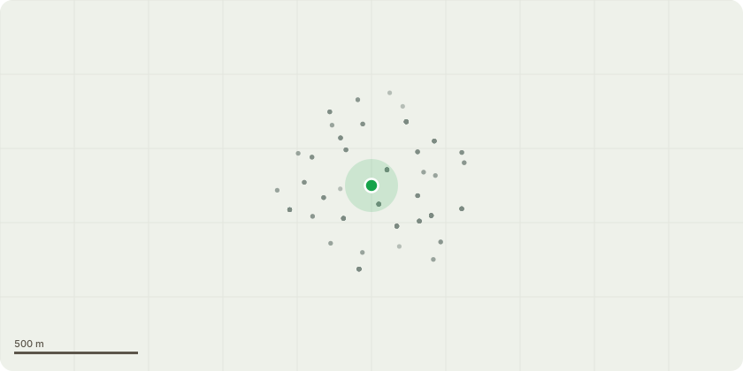
Approximate location
Proposal
Non-Material amendment to planning permission 20/00116/FUL to allow fence and hedge line proposed to the north of Zelkova Lawn to enable entrance to Fairfield Residential Home south entrance. Existing car parking spaces to be retained to the south of the Staverton Lane substation. 2no. proposed parallel parking to the north of the substation. Formation of a new path to be installed to the south of Redcliffe. Alterations to landscaping to the south of Redcliffe Maud House. Internal alterations to Fairfield house to provide 18 study bedrooms rather than 3 study bedrooms, and 6 self-contained flats. Alterations to Farefield House fenestration. Alterations to Walnut Lawn Villa pergola, Alterations to Banbury Drive bin store. Additional bicycle parking for occupants of Walnut Lawn Villa and Fairfield House. Provision of ASHP. Pathway to the east of Fairfield House relocated closer to the building. Timber gate proposed to east of substation from Banbury Road side. Eastern boundary of Nursery external play space to be set off from Woodstock Pavilion western façade. Alterations to fenestration to Walnut Lawn Villa North. Change of use to ground floor area of Banbury Road Villa from 2no. study spaces to staff facilities. Alterations to tree planting.
Key dates
- Received 17 Jun 2025
- Validated 17 Jun 2025
- Started 17 Jun 2025
- Decided 20 Oct 2025
Planning history / related applications
No related planning applications have been identified in the current public OGL dataset.
Inside plotEdge
Go beyond the public record
This page is the public OGL record. plotEdge adds the private intelligence layer for this site - open it in the app to unlock:
- Ownership & title Registered owner and title from HM Land Registry.
- Viability & build potential Site scoring and development upside.
- Constraints Flood risk, green belt, conservation areas and designations.
- Approval signal Planning risk and approval-likelihood analysis.
- Comparable applications Decisions on similar nearby sites, side by side.
- Status alerts Get notified the moment this application changes.
Source: public planning application data from Oxford, reused under the Open Government Licence v3.0. View the council source record. Council documents and drawings are not republished on plotEdge.