Nottingham
Nottingham/26/01071/PTPO
Woodthorpe House, Sherwood Community Centre Mansfield Road Nottingham Nottingham City NG5 3FN
- Reference
- Nottingham/26/01071/PTPO
- Authority
- Nottingham
- Application type
- PTPO
- Address
- Woodthorpe House, Sherwood Community Centre Mansfield Road Nottingham Nottingham City NG5 3FN
- Postcode
- NG5 3FN
- Status
- Pending Consideration
- Received
- 26 Jun 2026
- Started
- 26 Jun 2026
- Source council
- Nottingham
- Council source record
- View public record
- Public data licence
- Open Government Licence v3.0
- Record updated
- 18 Jul 2026
- SEO index generated
- 24 Jul 2026
Location
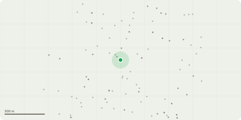
Approximate location
Proposal
Sherwood Community Centre Tree List 23 June 2026 TPO1 Tree Code Sgl 004222 Species Quercus robur OakRecommendationsCrown lift to 4 mHazard pruningClearance pruning to 3 mCommentsLarge cavity on rear side 200 mm deep appears well sealedDeadwood over play areaLow canopy over play areaContact with phone linesNo fungus observed2 Tree Code Sgl 106706 Species Ilex aquifolium HollyRecommendationsCrown lift to 7 mClearance to 3 m52 m clearance over road4 m clearance over footpathPrune away from lamp column3 Tree Code Sgl 106710 Species Ilex aquifolium HollyRecommendationsCrown lift to 7 mClearance to 3 m52 m clearance over roadPrune away from lamp column4 Tree Code Sgl 106712 Species Acer pseudoplatanus SycamoreConditionMajor limb lossLarge branches lostMajor stem cavityDeadwood greater than 50 mmDieback evidentRecommendationsCrown reduction up to 4 mSympathetic upper crown reduction up to 2 mReduce laterals over road up to 4 mTip prune growth near lamp columnRetain as much foliage as possible5 Tree Code Sgl 106714 Species Acer pseudoplatanus SycamoreConditionMajor stem cavity possible hollowingDeadwood greater than 50 mmRecommendationsCrown reduction up to 4 mReduce upper crown by 1 to 2 mReduce laterals over road up to 4 mSympathetic pruning retaining foliage6 Tree Code Sgl 106742 Species Taxus baccata YewRecommendationsCrown lift to 4 mClearance to 3 mLateral pruning away from road 2 to 3 m
Key dates
- Received 26 Jun 2026
- Started 26 Jun 2026
Planning history / related applications
No related planning applications have been identified in the current public OGL dataset.
Inside plotEdge
Go beyond the public record
This page is the public OGL record. plotEdge adds the private intelligence layer for this site - open it in the app to unlock:
- Ownership & title Registered owner and title from HM Land Registry.
- Viability & build potential Site scoring and development upside.
- Constraints Flood risk, green belt, conservation areas and designations.
- Approval signal Planning risk and approval-likelihood analysis.
- Comparable applications Decisions on similar nearby sites, side by side.
- Status alerts Get notified the moment this application changes.
Source: public planning application data from Nottingham, reused under the Open Government Licence v3.0. View the council source record. Council documents and drawings are not republished on plotEdge.