Nottingham
Nottingham/26/00977/PWC
Nottingham High School For Boys Waverley Mount Nottingham Nottingham City NG7 4ED
- Reference
- Nottingham/26/00977/PWC
- Authority
- Nottingham
- Application type
- PWC
- Address
- Nottingham High School For Boys Waverley Mount Nottingham Nottingham City NG7 4ED
- Postcode
- NG7 4ED
- Status
- Pending Consideration
- Received
- 9 Jun 2026
- Started
- 9 Jun 2026
- Source council
- Nottingham
- Council source record
- View public record
- Public data licence
- Open Government Licence v3.0
- Record updated
- 18 Jul 2026
- SEO index generated
- 24 Jul 2026
Location
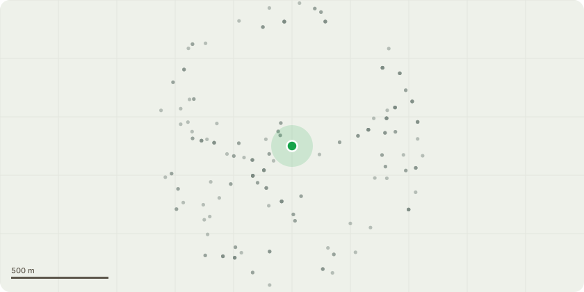
Approximate location
Proposal
Nottingham High School SiteT0003 - Reduce lateral limbs in contactwith building to create 1.5metres clearanceTimescale: 02-Apr-2027 (1Year) Species - AshT0012 - Re pollard tree leaving initialpollard points or knuckles intactworks required as continuationof pollard regime.Timescale: 02-Apr-2027 (1Year) Species - London PlaneT0018 - Crown clean to remove canopydeadwood over 20mm andreduce South west lateralcanopy by 2.5 metres to suitablereplacement points leaving anatural canopy outlineTimescale: 02-Apr-2027 (1Year) Species - beechT0020 - Reduce lateral canopy by nomore than 2.5 metres to suitablereplacement points leaving anatural canopy outline to reducethe likelihood of limb failure viawind breakage.Timescale: 02-Apr-2027 (1Year) Species - Copper BeechT0038 - Prune away from street light tocreate 1 metres clearanceTimescale: 02-Apr-2027 (1Year) Species - RobiniaT0040 - Pollard to same height asadjoining stem to avoid theLikelihood of structural limbfailureTimescale: 02-Apr-2027 (1Year) Species - sycamore12 Waverley SiteT008 - Reduce Northern and Easternlateral canopy by no more than2.5 metres to suitablereplacement points leaving anatural canopy outline worksrequired to reduce the likelihoodof limb failure via windbreakage.Timescale: 02-Apr-2027 (1Year) Species - Norway Maple Lovell House SiteT11 - Pollard tree to 6 metres inheight to reduce the likelihood ofstructural limb failure fromcoppice point.Timescale: 02-Apr-2027 (1Year) Species - LimeT14 - Pollard to 5 metres in heightTimescale: 02-Apr-2027 (1Year) Species - LimeT16 - Pollard to 5 metres in heightTimescale: 02-Apr-2027 (1Year) Species - SycamoreT28 - Crown lift to highway aspectonly to create 5 metresclearance from level of highwayTimescale: 02-Apr-2027 (1Year) Species - LimeT8 - Overall canopy reduction by nomore than 1.5 metres to suitablereplacement points leaving anatural canopy outline worksrequired to reduce the likelihoodof
Key dates
- Received 9 Jun 2026
- Started 9 Jun 2026
Planning history / related applications
No related planning applications have been identified in the current public OGL dataset.
Inside plotEdge
Go beyond the public record
This page is the public OGL record. plotEdge adds the private intelligence layer for this site - open it in the app to unlock:
- Ownership & title Registered owner and title from HM Land Registry.
- Viability & build potential Site scoring and development upside.
- Constraints Flood risk, green belt, conservation areas and designations.
- Approval signal Planning risk and approval-likelihood analysis.
- Comparable applications Decisions on similar nearby sites, side by side.
- Status alerts Get notified the moment this application changes.
Source: public planning application data from Nottingham, reused under the Open Government Licence v3.0. View the council source record. Council documents and drawings are not republished on plotEdge.