Nottingham
Nottingham/26/00458/PWC
10 Sefton Drive Nottingham NG3 5ER
- Reference
- Nottingham/26/00458/PWC
- Authority
- Nottingham
- Application type
- PWC
- Address
- 10 Sefton Drive Nottingham NG3 5ER
- Postcode
- NG3 5ER
- Status
- Decided
- Decision
- No objection
- Received
- 24 Mar 2026
- Validated
- 24 Mar 2026
- Started
- 24 Mar 2026
- Decided
- 1 May 2026
- Source council
- Nottingham
- Council source record
- View public record
- Public data licence
- Open Government Licence v3.0
- Record updated
- 18 Jul 2026
- SEO index generated
- 24 Jul 2026
Location
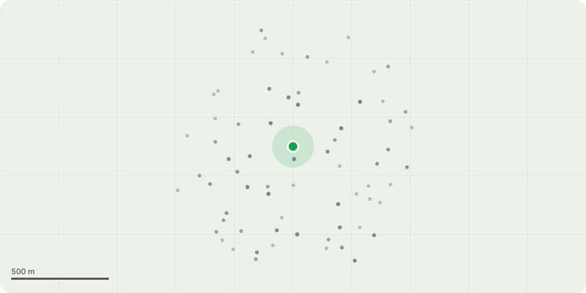
Approximate location
Proposal
Tree - B1. Beech Tree - crown reduction to clear telephone lines and safe clearance for passing vehicles, raise lower canopy to 5.7m, thin 10% to improve light access. No maintenance has been carried out for 15-20 years. Seeking to restore the tree so that it is in keeping and in proportion to surroundings. Currently overshadowing road, pavement and impacting telephone lines.Tree - L1 Ash Tree - full removal due to ash die back, rusty coloured buds, 30% of canopy is dead, co-dominant trunks bark included, poses danger to public as dead branches overhang pavement.Tree - L2. Plum Tree - crown cleaning.Trees - L6, L4, L3. Limes. Pollard to previous points. Plan to maintain the historical planting scheme as a line of pollards.Tree - L5. Beech. Tree near to both properties (neighbouring property No. 8 Sefton Drive) - full removal, not in keeping with row of lime trees, considerable overhang on neighbouring property and roofline. No visible pruning point to help maintain or create balance. Various Small - Rear Side Purple Plum Tree - full removal, fungal pathogens are evident, unstable at the base, containerised within a raised bed and rooted to the top of bunker.
Key dates
- Received 24 Mar 2026
- Validated 24 Mar 2026
- Started 24 Mar 2026
- Decided 1 May 2026
Planning history / related applications
No related planning applications have been identified in the current public OGL dataset.
Inside plotEdge
Go beyond the public record
This page is the public OGL record. plotEdge adds the private intelligence layer for this site - open it in the app to unlock:
- Ownership & title Registered owner and title from HM Land Registry.
- Viability & build potential Site scoring and development upside.
- Constraints Flood risk, green belt, conservation areas and designations.
- Approval signal Planning risk and approval-likelihood analysis.
- Comparable applications Decisions on similar nearby sites, side by side.
- Status alerts Get notified the moment this application changes.
Source: public planning application data from Nottingham, reused under the Open Government Licence v3.0. View the council source record. Council documents and drawings are not republished on plotEdge.