Nottingham
Nottingham/26/00411/PWC
2 Springfield Pastures Nottingham Nottingham City NG3 4JU
- Reference
- Nottingham/26/00411/PWC
- Authority
- Nottingham
- Application type
- PWC
- Address
- 2 Springfield Pastures Nottingham Nottingham City NG3 4JU
- Postcode
- NG3 4JU
- Status
- Decided
- Decision
- No objection
- Received
- 16 Mar 2026
- Validated
- 16 Mar 2026
- Started
- 16 Mar 2026
- Decided
- 22 Apr 2026
- Source council
- Nottingham
- Council source record
- View public record
- Public data licence
- Open Government Licence v3.0
- Record updated
- 18 Jul 2026
- SEO index generated
- 24 Jul 2026
Location
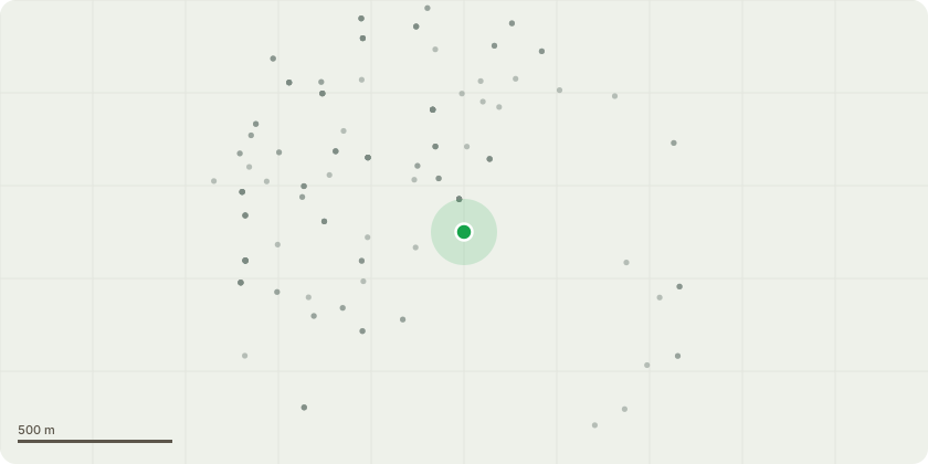
Approximate location
Proposal
The ash tree is not subject to a TPO but does sit within a conservation area. It is marked in red on the attached plan. Note the proximity to the well marked in green and wall, which is now damaged by the tree. The tree sits on the boundary of my property and the occupants of the flats on whom the tree sits will be informed of the proposed works.The plan is to pollard the tree according to the expert's report and anotated photograph: "The ash tree in question has been allowed to outgrow its space because it hasn't been pruned for a long time. The image of the base shows the damage to the retaining walls it is sited close to. It is also noted that the tree's base is sited on a slope with a number of other retaining walls around it that, if allowed to continue to expand it's crown (and thus expand it's root system in compensation) could cause further damage. It is also noted (as shown in the image of the base) that the tree in question is formed with co-dominant stems from the base, my understanding is that this is a potential splitting-risk as the tree continues to grown, which could pose a risk to property and life in the future. The image also shows the unusual and heavy buttressing which can be a sign of the tree attempting to cope with unstable footing."Photographs also attached.
Key dates
- Received 16 Mar 2026
- Validated 16 Mar 2026
- Started 16 Mar 2026
- Decided 22 Apr 2026
Planning history / related applications
No related planning applications have been identified in the current public OGL dataset.
Inside plotEdge
Go beyond the public record
This page is the public OGL record. plotEdge adds the private intelligence layer for this site - open it in the app to unlock:
- Ownership & title Registered owner and title from HM Land Registry.
- Viability & build potential Site scoring and development upside.
- Constraints Flood risk, green belt, conservation areas and designations.
- Approval signal Planning risk and approval-likelihood analysis.
- Comparable applications Decisions on similar nearby sites, side by side.
- Status alerts Get notified the moment this application changes.
Source: public planning application data from Nottingham, reused under the Open Government Licence v3.0. View the council source record. Council documents and drawings are not republished on plotEdge.