Nottingham
Nottingham/26/00232/PWC
2 Sefton Drive Nottingham Nottingham City NG3 5ER
- Reference
- Nottingham/26/00232/PWC
- Authority
- Nottingham
- Application type
- PWC
- Address
- 2 Sefton Drive Nottingham Nottingham City NG3 5ER
- Postcode
- NG3 5ER
- Status
- Decided
- Decision
- No objection
- Received
- 13 Feb 2026
- Validated
- 13 Feb 2026
- Started
- 13 Feb 2026
- Decided
- 8 Apr 2026
- Source council
- Nottingham
- Council source record
- View public record
- Public data licence
- Open Government Licence v3.0
- Record updated
- 18 Jul 2026
- SEO index generated
- 24 Jul 2026
Location
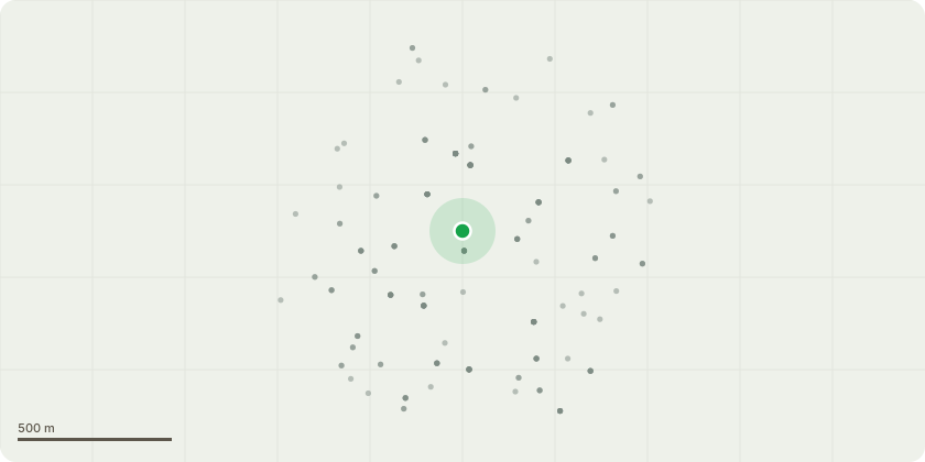
Approximate location
Proposal
Removal of the existing Holly tree (T1) to create a more open, wildlife-friendly area within the garden.Removal of the Bay tree (T9) located adjacent to the Camellia (T8).Removal of tree T10 (species to be confirmed) due to its severely declined condition and significant lean towards the neighbouring property, which presents a potential risk to property and safety.The proposed removals will allow for improved light penetration, better garden management, and enhanced ecological value through replacement planting. As mitigation and enhancement, three heritage fruit trees (Pear, Damson and Plum) will be planted, along with a hornbeam hedgerow to provide long-term structure, screening, and habitat for wildlife.All tree works will be carried out by a competent arboricultural contractor in accordance with current British Standards for tree work, including BS3998:2010 (Tree Work Recommendations), and relevant health and safety legislation.
Key dates
- Received 13 Feb 2026
- Validated 13 Feb 2026
- Started 13 Feb 2026
- Decided 8 Apr 2026
Planning history / related applications
No related planning applications have been identified in the current public OGL dataset.
Inside plotEdge
Go beyond the public record
This page is the public OGL record. plotEdge adds the private intelligence layer for this site - open it in the app to unlock:
- Ownership & title Registered owner and title from HM Land Registry.
- Viability & build potential Site scoring and development upside.
- Constraints Flood risk, green belt, conservation areas and designations.
- Approval signal Planning risk and approval-likelihood analysis.
- Comparable applications Decisions on similar nearby sites, side by side.
- Status alerts Get notified the moment this application changes.
Source: public planning application data from Nottingham, reused under the Open Government Licence v3.0. View the council source record. Council documents and drawings are not republished on plotEdge.