Nottingham
Nottingham/25/02249/PWC
3 Yew Close Nottingham Nottingham City NG5 4EL
- Reference
- Nottingham/25/02249/PWC
- Authority
- Nottingham
- Application type
- PWC
- Address
- 3 Yew Close Nottingham Nottingham City NG5 4EL
- Postcode
- NG5 4EL
- Status
- Decided
- Decision
- No objection
- Received
- 8 Dec 2025
- Validated
- 8 Dec 2025
- Started
- 8 Dec 2025
- Decided
- 12 Jan 2026
- Source council
- Nottingham
- Council source record
- View public record
- Public data licence
- Open Government Licence v3.0
- Record updated
- 18 Jul 2026
- SEO index generated
- 24 Jul 2026
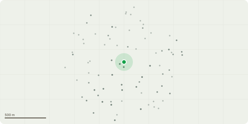
Location
Approximate location
Proposal
Row of trees to the rear of garden (highlighted in Yellow on sketch plan), pollard all trees to a height of 4 to 5 metres. Tree to the side (highlighted in green on sketch plan), remove low branches up to 4 metres as shown with white circles. Reason: In the summer when the trees are fully grown, they block the light and sun from the plants/vegetation we have in the soil directly under the trees hence we have a lack of quality results. Secondly the number of leaves that fall, ants/ spiders the trees attract it causes a safety hazard when the grandchildren come round and want to pay in the garden. The trees are well overgrown in the summer months. We will not be cutting any trees down altogether. We like the fact this area is in a conservation area, and we get to see the beautiful nature and trees and therefore only want to cut the branches off. Appreciate you looking into this. Thank you
Key dates
- Received 8 Dec 2025
- Validated 8 Dec 2025
- Started 8 Dec 2025
- Decided 12 Jan 2026
Planning history / related applications
No related planning applications have been identified in the current public OGL dataset.
Inside plotEdge
Go beyond the public record
This page is the public OGL record. plotEdge adds the private intelligence layer for this site - open it in the app to unlock:
- Ownership & title Registered owner and title from HM Land Registry.
- Viability & build potential Site scoring and development upside.
- Constraints Flood risk, green belt, conservation areas and designations.
- Approval signal Planning risk and approval-likelihood analysis.
- Comparable applications Decisions on similar nearby sites, side by side.
- Status alerts Get notified the moment this application changes.
Source: public planning application data from Nottingham, reused under the Open Government Licence v3.0. View the council source record. Council documents and drawings are not republished on plotEdge.