Nottingham
Nottingham/25/02166/5DAY
The Dower House Yew Tree Lane Nottingham NG11 8LB
- Reference
- Nottingham/25/02166/5DAY
- Authority
- Nottingham
- Application type
- DAY
- Address
- The Dower House Yew Tree Lane Nottingham NG11 8LB
- Postcode
- NG11 8LB
- Status
- Decided
- Decision
- 5 Day Noticed Accepted
- Received
- 11 Nov 2025
- Validated
- 11 Nov 2025
- Started
- 11 Nov 2025
- Decided
- 26 Nov 2025
- Source council
- Nottingham
- Council source record
- View public record
- Public data licence
- Open Government Licence v3.0
- Record updated
- 18 Jul 2026
- SEO index generated
- 24 Jul 2026
Location
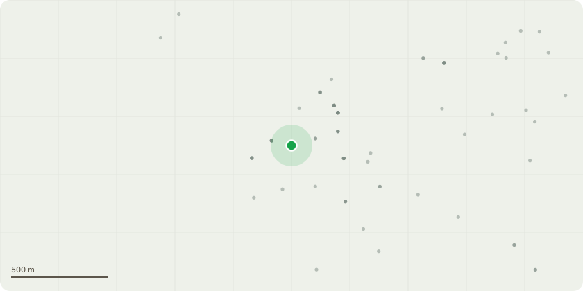
Approximate location
Proposal
T1 Ash tree:Large mature tree subject possibly to a Tree Preservation Order. TPO114-T9.The tree has sustained significant damage during recent high winds where a large section has broken away from the main stem.The stem itself and most of the tree canopy is entirely Ivy covered making it impossible to see if or how extensive the damage to the tree is. There is a high chance of internal decay present due to the age of the tree.The Ivy will no doubt be a contributing factor to the failure of the tree, increasing the wind resistance and adding excessive weight to the tree especially during wet and windy weather events.The section that fell has landed upon a domestic electricity cable which serves stables in the adjacent farm yard.This also caused the gable end of an old barn to fall which it was attached to.It is my recommendation that an emergency five day notification is submitted to Nottingham City Planning to have the tree pollarded to 5m in height and the Ivy severed at the base. This will make the tree stable so the electricity cable can be reinstalled and the tree can be inspected in more detail to see if it needs felling completely.
Key dates
- Received 11 Nov 2025
- Validated 11 Nov 2025
- Started 11 Nov 2025
- Decided 26 Nov 2025
Planning history / related applications
No related planning applications have been identified in the current public OGL dataset.
Inside plotEdge
Go beyond the public record
This page is the public OGL record. plotEdge adds the private intelligence layer for this site - open it in the app to unlock:
- Ownership & title Registered owner and title from HM Land Registry.
- Viability & build potential Site scoring and development upside.
- Constraints Flood risk, green belt, conservation areas and designations.
- Approval signal Planning risk and approval-likelihood analysis.
- Comparable applications Decisions on similar nearby sites, side by side.
- Status alerts Get notified the moment this application changes.
Source: public planning application data from Nottingham, reused under the Open Government Licence v3.0. View the council source record. Council documents and drawings are not republished on plotEdge.