Nottingham
Nottingham/25/01776/PTPO
122 Torvill Drive Nottingham Nottingham City NG8 2BR
- Reference
- Nottingham/25/01776/PTPO
- Authority
- Nottingham
- Application type
- PTPO
- Address
- 122 Torvill Drive Nottingham Nottingham City NG8 2BR
- Postcode
- NG8 2BR
- Status
- Decided
- Decision
- Grant conditional consent
- Received
- 23 Sept 2025
- Validated
- 6 Oct 2025
- Started
- 6 Oct 2025
- Decided
- 26 Nov 2025
- Source council
- Nottingham
- Council source record
- View public record
- Public data licence
- Open Government Licence v3.0
- Record updated
- 18 Jul 2026
- SEO index generated
- 24 Jul 2026
Location
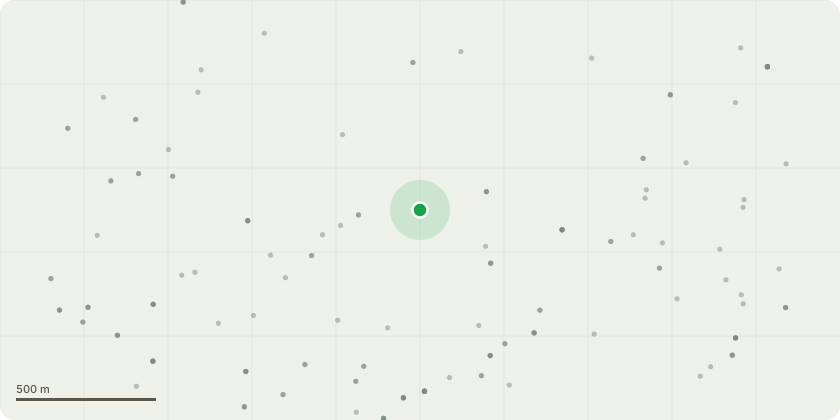
Approximate location
Proposal
[T1] Lime, common (Tilia x europaea). Target prune to remove epicormic growth. To maximum 2.5m in height and ONLY growth that is extending into clients property. For routine maintenance and retain screening.[H1] Laurel, Cherry (Prunus laurocerasus). Hedge-trim back to fence line. Reduce height by approximately 1.0m. For routine maintenanceand retain screening.[T2] Holly (Ilex aquifolium). Hedge-trim back to fence line. Reduce height by approximately 1.0m in line with [H1] . For routine maintenance and retain screening.[T3] Cherry, wild (Prunus avium). Target prune lowest 3 branches over roofline to appropriate replacements. To protect the integrity ofthe building structure.[T4] oak, English (Quercus robur). Sever Ivy at base of tree and provide 1m gap. Remove Ivy extending into property from tree. For routine maintenance and monitor condition of [T4].[H2] Laurel, Cherry (Prunus laurocerasus). Hedge-trim back to promote oval shape. Reduce height by approximately 1.5m. For routine maintenance and retain screening.[T5] Bay, (Laurel nobilis). Hedge-trim back to promote oval shape. Reduce height by approximately 2.5m. For routine maintenance andretain screening.[T6] Ash (Fraxinus excelsior). Self set in [T5]. Sectional dismantle and fell tree. Stem diameter less than 175mm at 1.5 from ground level. Likely to outgrow location quickly and for thinning and safeguard [T5].
Key dates
- Received 23 Sept 2025
- Validated 6 Oct 2025
- Started 6 Oct 2025
- Decided 26 Nov 2025
Planning history / related applications
No related planning applications have been identified in the current public OGL dataset.
Inside plotEdge
Go beyond the public record
This page is the public OGL record. plotEdge adds the private intelligence layer for this site - open it in the app to unlock:
- Ownership & title Registered owner and title from HM Land Registry.
- Viability & build potential Site scoring and development upside.
- Constraints Flood risk, green belt, conservation areas and designations.
- Approval signal Planning risk and approval-likelihood analysis.
- Comparable applications Decisions on similar nearby sites, side by side.
- Status alerts Get notified the moment this application changes.
Source: public planning application data from Nottingham, reused under the Open Government Licence v3.0. View the council source record. Council documents and drawings are not republished on plotEdge.