Nottingham
Nottingham/25/01774/PTPO
477 Hucknall Road Nottingham Nottingham City NG5 1FW
- Reference
- Nottingham/25/01774/PTPO
- Authority
- Nottingham
- Application type
- PTPO
- Address
- 477 Hucknall Road Nottingham Nottingham City NG5 1FW
- Postcode
- NG5 1FW
- Status
- Decided
- Decision
- Grant conditional consent
- Received
- 23 Sept 2025
- Validated
- 29 Sept 2025
- Started
- 29 Sept 2025
- Decided
- 26 Nov 2025
- Source council
- Nottingham
- Council source record
- View public record
- Public data licence
- Open Government Licence v3.0
- Record updated
- 18 Jul 2026
- SEO index generated
- 24 Jul 2026
Location
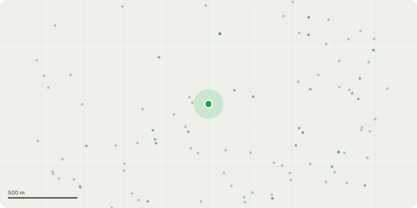
Approximate location
Proposal
Remove x2 lateral branches for the installation of a portable cabin.The huge oak tree in the photos is at the bottom of Blackwood's by the gate .We have asked before to have a few branches removed as they were causing an issue to the house right next to the bottom boundary about 10 years ago now. That work was carried out .We hope to have a portal cabin lifted in to place on to the flat land next to the oak tree where a potral cabin once sat over 30 years ago.We need to trim back a few branches on this oak tree to allow the crane to lift in place a potral cabin which will be in place for around 6 months if the new build goes ahead. New build is in process with the council and the Youth fund . The photos provided show the two main branches that need to be trimmed back just to allow better access for the crane to lift the cabin in to place where the 2 people are standing .
Key dates
- Received 23 Sept 2025
- Validated 29 Sept 2025
- Started 29 Sept 2025
- Decided 26 Nov 2025
Planning history / related applications
No related planning applications have been identified in the current public OGL dataset.
Inside plotEdge
Go beyond the public record
This page is the public OGL record. plotEdge adds the private intelligence layer for this site - open it in the app to unlock:
- Ownership & title Registered owner and title from HM Land Registry.
- Viability & build potential Site scoring and development upside.
- Constraints Flood risk, green belt, conservation areas and designations.
- Approval signal Planning risk and approval-likelihood analysis.
- Comparable applications Decisions on similar nearby sites, side by side.
- Status alerts Get notified the moment this application changes.
Source: public planning application data from Nottingham, reused under the Open Government Licence v3.0. View the council source record. Council documents and drawings are not republished on plotEdge.