Nottingham
Nottingham/25/01744/PWC
Wollaton Park Golf Club Lime Tree Avenue Wollaton Nottingham Nottingham City NG8 1BT
- Reference
- Nottingham/25/01744/PWC
- Authority
- Nottingham
- Application type
- PWC
- Address
- Wollaton Park Golf Club Lime Tree Avenue Wollaton Nottingham Nottingham City NG8 1BT
- Postcode
- NG8 1BT
- Status
- Decided
- Decision
- No objection
- Received
- 18 Sept 2025
- Validated
- 26 Sept 2025
- Started
- 26 Sept 2025
- Decided
- 3 Nov 2025
- Source council
- Nottingham
- Council source record
- View public record
- Public data licence
- Open Government Licence v3.0
- Record updated
- 18 Jul 2026
- SEO index generated
- 24 Jul 2026
Location
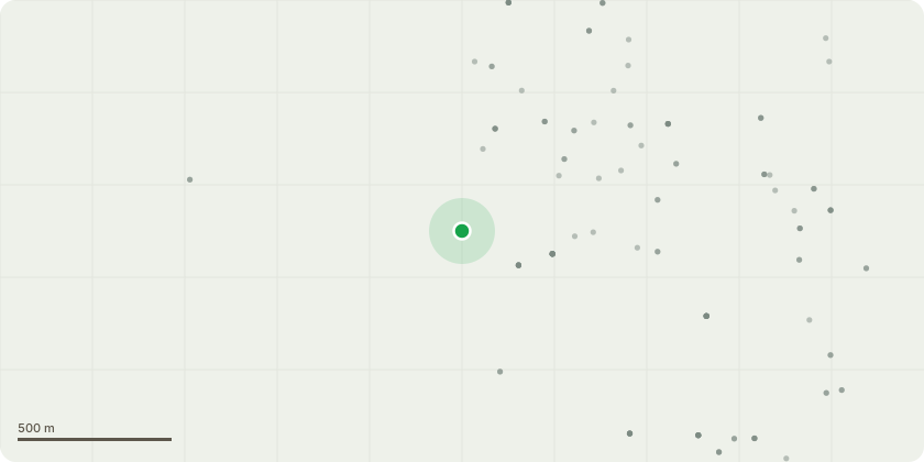
Approximate location
Proposal
ID Name/species Age category Recommendations9 Lime Mature Remove and replant with replacement in next planting season.26 Oak Mature Reduce height and radial canopy spread by 3-4m to reduce weight and wind loading on old wounds.30 Lime Mature Reduce northerly stems to 2-3m above old pollard attachment point.34 Lime Early-mature Crown lift to clear neighbouring property by 1.5m.46 Oak Early-mature Remove hanger.48 Horse chestnut Mature Remove and replace or fence off.49 Horse chestnut Mature Reduce height and radial spread by 3m to reduce weight and windage. Use drop crotch pruning and cuts no greater than 8cm in diameter.56 Austrian pine Early-mature Remove snapped branch.57 Lime Mature Reduce canopy by 3m to reduce weight and windage. Use drop crotch pruning and cuts no greater than 8cm in diameter.58 Lime Mature Remove and replant with replacement in next planting season.65 Red oak Early-mature Remove hanger over path.In addition, there are many trees that require removal of deadwood which is exempt from requiring permission. There are also several dead trees to remove.
Key dates
- Received 18 Sept 2025
- Validated 26 Sept 2025
- Started 26 Sept 2025
- Decided 3 Nov 2025
Planning history / related applications
No related planning applications have been identified in the current public OGL dataset.
Inside plotEdge
Go beyond the public record
This page is the public OGL record. plotEdge adds the private intelligence layer for this site - open it in the app to unlock:
- Ownership & title Registered owner and title from HM Land Registry.
- Viability & build potential Site scoring and development upside.
- Constraints Flood risk, green belt, conservation areas and designations.
- Approval signal Planning risk and approval-likelihood analysis.
- Comparable applications Decisions on similar nearby sites, side by side.
- Status alerts Get notified the moment this application changes.
Source: public planning application data from Nottingham, reused under the Open Government Licence v3.0. View the council source record. Council documents and drawings are not republished on plotEdge.