Nottingham
Nottingham/25/01462/PWC
11A The Grove Nottingham Nottingham City NG7 4BS
- Reference
- Nottingham/25/01462/PWC
- Authority
- Nottingham
- Application type
- PWC
- Address
- 11A The Grove Nottingham Nottingham City NG7 4BS
- Postcode
- NG7 4BS
- Status
- Decided
- Decision
- No objection
- Received
- 4 Aug 2025
- Validated
- 4 Aug 2025
- Started
- 4 Aug 2025
- Decided
- 11 Aug 2025
- Source council
- Nottingham
- Council source record
- View public record
- Public data licence
- Open Government Licence v3.0
- Record updated
- 18 Jul 2026
- SEO index generated
- 24 Jul 2026
Location
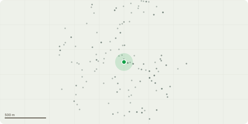
Approximate location
Proposal
The tree proposed for removal is located within the curtilage of 11A The Grove, Southey Street, Nottingham, NG7 4BS. The species is believed to be either an Leyland Cypress ( Cuprocyparis leylandii).The tree is situated adjacent to the boundary wall.This application is for the complete removal of the tree as outlined as T3 within the submitted drawings, including felling to ground level. The removal is necessary due to the tree causing structural damage to the adjacent wall, leading to ongoing safety and maintenance concerns. If required, stump grinding will also be carried out to prevent regrowth and to facilitate potential future repairs or site improvements.The tree is not subject to a Tree Preservation Order (TPO), and this submission is made in accordance with the 6-week prior notification requirement under Section 211 of the Town and Country Planning Act 1990. Supporting photographs and site drawings can be provided upon request.
Key dates
- Received 4 Aug 2025
- Validated 4 Aug 2025
- Started 4 Aug 2025
- Decided 11 Aug 2025
Planning history / related applications
No related planning applications have been identified in the current public OGL dataset.
Inside plotEdge
Go beyond the public record
This page is the public OGL record. plotEdge adds the private intelligence layer for this site - open it in the app to unlock:
- Ownership & title Registered owner and title from HM Land Registry.
- Viability & build potential Site scoring and development upside.
- Constraints Flood risk, green belt, conservation areas and designations.
- Approval signal Planning risk and approval-likelihood analysis.
- Comparable applications Decisions on similar nearby sites, side by side.
- Status alerts Get notified the moment this application changes.
Source: public planning application data from Nottingham, reused under the Open Government Licence v3.0. View the council source record. Council documents and drawings are not republished on plotEdge.