Nottingham
Nottingham/25/01273/PWC
45 Private Road Nottingham NG5 4DD
- Reference
- Nottingham/25/01273/PWC
- Authority
- Nottingham
- Application type
- PWC
- Address
- 45 Private Road Nottingham NG5 4DD
- Postcode
- NG5 4DD
- Status
- Pending Consideration
- Received
- 4 Jul 2025
- Started
- 4 Jul 2025
- Source council
- Nottingham
- Council source record
- View public record
- Public data licence
- Open Government Licence v3.0
- Record updated
- 18 Jul 2026
- SEO index generated
- 24 Jul 2026
Location
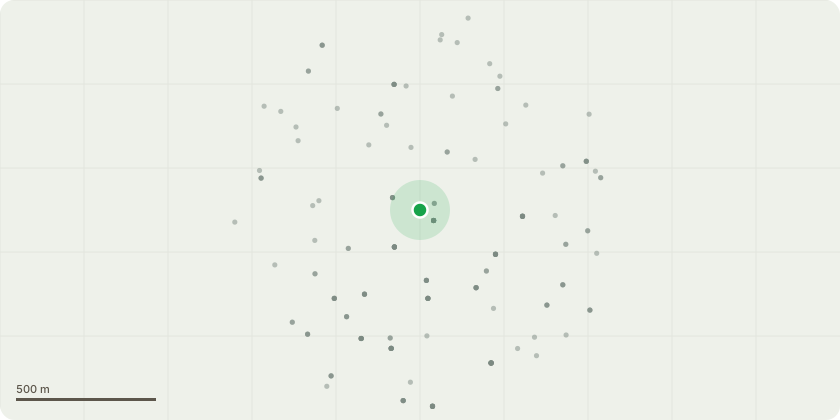
Approximate location
Proposal
Ash tree In the front of the house- Overhanging onto the road, so needing to have it lifted between four and five metres on the lowest branches.Lime trees- Dock three lime trees grown as a hedge along the border to the right in front of the property. This has been necessary a number of times over the time we have been in residence (17 years) and is necessary maintenance work.Leylandii- Remove leaning side section and reduce height at the back of the property (Right) , as it has obvious soil and root movement on both sides of the fence, and other signs of movement are evident.Eucalyptus tree - Take the top four to five metres off of a Eucalyptus tree at the back (Right) that looks like it?s quite top heavy and could easily snap in high winds. Also reduce large right side limb hanging over neighbours garden by approx half.Fell and take out two other smaller plum trees on the other side of the property (Left) at the back that are growing through other trees and causing significant problems as a result due to the area now being overgrown with trees all in a small area.
Key dates
- Received 4 Jul 2025
- Started 4 Jul 2025
Planning history / related applications
No related planning applications have been identified in the current public OGL dataset.
Inside plotEdge
Go beyond the public record
This page is the public OGL record. plotEdge adds the private intelligence layer for this site - open it in the app to unlock:
- Ownership & title Registered owner and title from HM Land Registry.
- Viability & build potential Site scoring and development upside.
- Constraints Flood risk, green belt, conservation areas and designations.
- Approval signal Planning risk and approval-likelihood analysis.
- Comparable applications Decisions on similar nearby sites, side by side.
- Status alerts Get notified the moment this application changes.
Source: public planning application data from Nottingham, reused under the Open Government Licence v3.0. View the council source record. Council documents and drawings are not republished on plotEdge.