Nottingham
Nottingham/25/01074/PTPO
Fox Grove Court Fox Grove Nottingham Nottingham City NG5 1JA
- Reference
- Nottingham/25/01074/PTPO
- Authority
- Nottingham
- Application type
- PTPO
- Address
- Fox Grove Court Fox Grove Nottingham Nottingham City NG5 1JA
- Postcode
- NG5 1JA
- Status
- Decided
- Decision
- Grant conditional consent
- Received
- 9 Jun 2025
- Validated
- 9 Jun 2025
- Started
- 9 Jun 2025
- Decided
- 14 Jul 2025
- Source council
- Nottingham
- Council source record
- View public record
- Public data licence
- Open Government Licence v3.0
- Record updated
- 18 Jul 2026
- SEO index generated
- 24 Jul 2026
Location
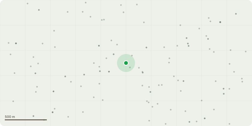
Approximate location
Proposal
Tree 1 Common Ash (Fraxinus excelsior)Recommended Works:Crown lift to 3 meters above the footpath and 5 meters above the driveway/road to improve clearance and reduce obstruction.10% crown thin to reduce wind resistance and improve light penetration.Removal of deadwood throughout the crown to reduce risk of falling debris and maintain tree health.Justification: Preventive management for safety and access, and to maintain structural balance and health.Tree 2 Common Lime (Tilia x europaea)Recommended Works:Re-pollard to the previous pollard points (approximately 12 meters) to restore manageable structure and remove hazardous limbs.Removal of all deadwood and weak growth, including epicormic shoots, as part of the re-pollarding operation.Justification: Health and safety risk due to falling limbs and declining crown; re-pollarding is an essential remedial action to restore safety and structure.
Key dates
- Received 9 Jun 2025
- Validated 9 Jun 2025
- Started 9 Jun 2025
- Decided 14 Jul 2025
Planning history / related applications
No related planning applications have been identified in the current public OGL dataset.
Inside plotEdge
Go beyond the public record
This page is the public OGL record. plotEdge adds the private intelligence layer for this site - open it in the app to unlock:
- Ownership & title Registered owner and title from HM Land Registry.
- Viability & build potential Site scoring and development upside.
- Constraints Flood risk, green belt, conservation areas and designations.
- Approval signal Planning risk and approval-likelihood analysis.
- Comparable applications Decisions on similar nearby sites, side by side.
- Status alerts Get notified the moment this application changes.
Source: public planning application data from Nottingham, reused under the Open Government Licence v3.0. View the council source record. Council documents and drawings are not republished on plotEdge.